
1896 Map of Eden
USGS Topo · Published 1896About this map
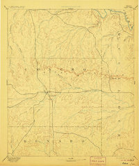
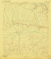
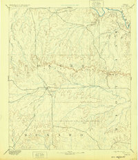
Eden stands as the primary outpost in this sparsely settled region of West Texas, established near the Harden Branch and Brady Creek as a frontier ranching hub. The landscape is dominated by the sprawling Brady Mountains, an escarpment that stretches across the heart of the territory, providing a natural barrier between the watershed of the Colorado River to the north and the rolling plateaus of Concho and McCulloch counties to the south.
Find a feature on this map
27 named features on this map. Tap any name to fly to it.
Don’t see what you’re looking for? This feature index may not catch every label — zoom into the map to look around manually.
Map Details
Editions of this 1896 Eden Map
4 editions found
Other maps of this area

1887 · Mason
USGS Topo · 1:125,000

1887 · Coleman
USGS Topo · 1:125,000

1889 · Coleman
USGS Topo · 1:125,000

1891 · Hayrick
USGS Topo · 1:125,000

1892 · San Angelo
USGS Topo · 1:125,000

1892 · Eden
USGS Topo · 1:125,000

1892 · Ballinger
USGS Topo · 1:125,000

1893 · Fort McKavett
USGS Topo · 1:125,000

1894 · Brady
USGS Topo · 1:125,000

1894 · Hayrick
USGS Topo · 1:125,000