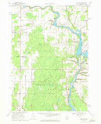
1969 Map of Edenville
USGS Topo · Published 1972About this map
The Tittabawassee River and the Tobacco River converge in this mid-Michigan landscape, creating a complex water system dominated by the impoundments of Wixom Lake and Sanford Lake. The village of Edenville sits at this critical hydraulic junction, where a Powerplant and dam system control the flow south of the county line. The map illustrates a rural economy balanced between agriculture and resource extraction, evidenced by scattered Gravel Pits and the sprawling Tittabawassee River State Forest that covers much of the southern half of the quadrangle.
Find a feature on this map
32 named features on this map. Tap any name to fly to it.
Don’t see what you’re looking for? This feature index may not catch every label — zoom into the map to look around manually.
Map Details
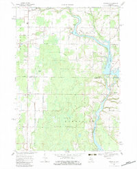
Editions of this 1969 Edenville Map
2 editions found
Other maps of this area

1930 · Shepherd
USGS Topo · 1:48,000

1934 · Sanford
USGS Topo · 1:62,500

1936 · Shepherd
USGS Topo · 1:62,500

1936 · Sanford
USGS Topo · 1:62,500

1954 · Midland
USGS Topo · 1:250,000

1958 · Midland
USGS Topo · 1:250,000

1959 · Midland
USGS Topo · 1:250,000

1966 · Midland
USGS Topo · 1:250,000

1969 · Gladwin
USGS Topo · 1:24,000

1969 · Coleman
USGS Topo · 1:24,000