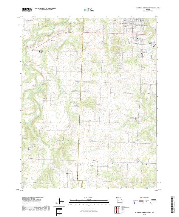
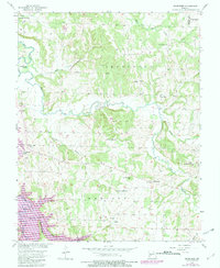
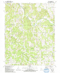
2021 Map of El Dorado Springs South
USGS Topo · Published 2021About this map
Virgil City and the southern outskirts of El Dorado Springs anchor this portion of the border between Vernon and Cedar counties. The landscape is defined by the headwaters and winding channels of Clear Creek and Mulberry Cr, punctuated by small rural cemeteries that serve as vital markers for genealogical research, such as Clintonville Cem and Mount Pleasant Cem. In the southeast, Sumner Corner marks a rural crossroads amidst a network of section-line roads like Militia Rd and Mission Rd. The presence of the El Dorado Springs Memorial Airport and infrastructure like Kelley Bridge illustrates the modern evolution of transport in this Missouri region, while labels like Osage Nation acknowledge the deeper territorial history of the land. The distribution of family-named landmarks like Warkins Cem and Reece Cem provides a clear map of 21st-century rural settlement patterns.
Find a feature on this map
103 named features on this map. Tap any name to fly to it.
Don’t see what you’re looking for? This feature index may not catch every label — zoom into the map to look around manually.
Map Details
Editions of this 2021 El Dorado Springs South Map
This is the sole edition of this map. No revisions or reprints were ever made.
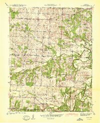
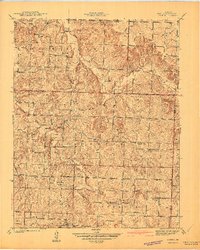
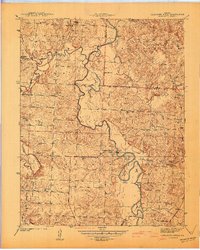
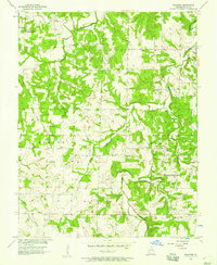
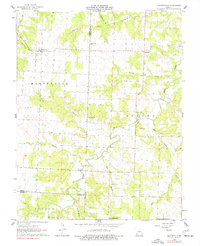
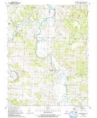
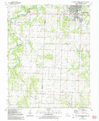
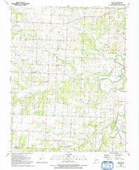
Historical Maps of Virgil City Through Time
22 maps found
1939 Arnica
Cedar County, MO
1939 Caplinger Mills
Cedar County, MO
1939 Eldorado Springs South
Cedar County, MO
1939 Filley
Cedar County, MO
1940 Filley
Cedar County, MO
1941 Arnica
Cedar County, MO
1941 Caplinger Mills
Cedar County, MO
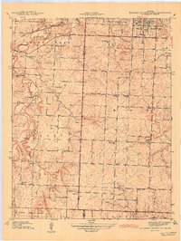
1942 Eldorado Springs South
Cedar County, MO
1956 Bearcreek
Cedar County, MO
1956 Wagoner
Cedar County, MO
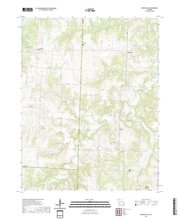
1962 Montevallo
Cedar County, MO
1991 Arnica
Cedar County, MO
1991 Caplinger Mills
Cedar County, MO
1991 El Dorado Springs South
Cedar County, MO
1991 Filley
Cedar County, MO
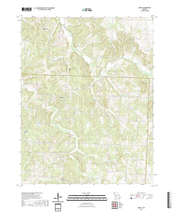
2021 Arnica
Cedar County, MO
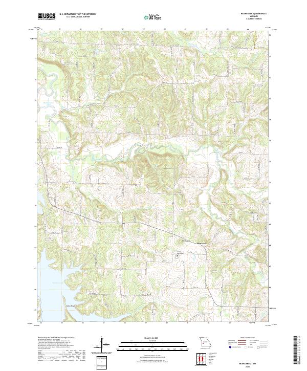
2021 Bearcreek
Cedar County, MO
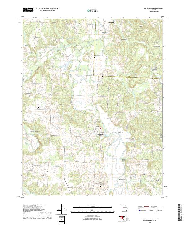
2021 Caplinger Mills
Cedar County, MO
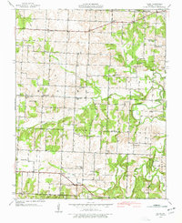
2021 El Dorado Springs South
Cedar County, MO
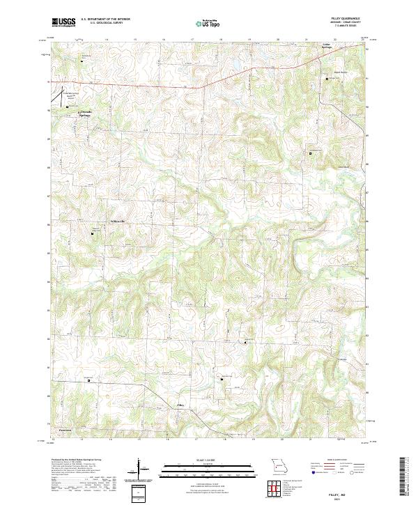
2021 Filley
Cedar County, MO
2021 Montevallo
Cedar County, MO
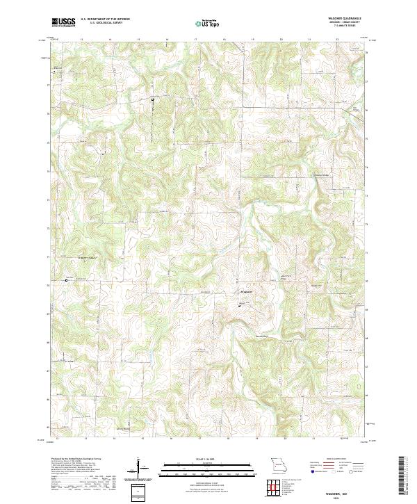
2021 Wagoner
Cedar County, MO