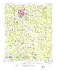
1951 Map of El Dorado
USGS Topo · Published 1974About this map
El Dorado serves as the industrial and transportation hub for Union County in this mid-century survey, where the grid of the city meets a complex network of timberlands and oil-rich creek bottoms. The landscape is defined by its transit history, anchored by the Chicago Rock Island and Pacific and the Missouri Pacific railroads, alongside the local El Dorado and Wesson line.
Find a feature on this map
71 named features on this map. Tap any name to fly to it.
Don’t see what you’re looking for? This feature index may not catch every label — zoom into the map to look around manually.
Map Details
Editions of this 1951 El Dorado Map
3 editions found

Other maps of this area

1927 · El Dorado
USGS Topo · 1:62,500

1930 · El Dorado
USGS Topo · 1:62,500

1933 · Strong
USGS Topo · 1:62,500

1934 · Moro Bay
USGS Topo · 1:62,500

1937 · Strong
USGS Topo · 1:62,500

1938 · Moro Bay
USGS Topo · 1:62,500

1939 · Moro Bay
USGS Topo · 1:62,500

1939 · Strong
USGS Topo · 1:62,500

1951 · Summerfield
USGS Topo · 1:62,500

1951 · Bernice
USGS Topo · 1:62,500