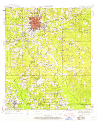
1951 Map of El Dorado
USGS Topo · Published 1958About this map
El Dorado stands as a significant regional hub in southern Arkansas, its gridded street plan and urban footprint surrounded by a landscape defined by creeks and timbered ridges. To the south, the settlement of Junction City straddles the border between Union County and Claiborne Parish at the Arkansas-Louisiana line. The area is dense with evidence of rural life and community, featuring an extensive network of country churches like Zion Watch Ch, Hibank Ch, and Smyrna Ch.
Find a feature on this map
84 named features on this map. Tap any name to fly to it.
Don’t see what you’re looking for? This feature index may not catch every label — zoom into the map to look around manually.
Map Details
Editions of this 1951 El Dorado Map
3 editions found

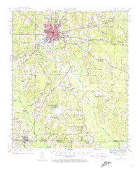
Other maps of this area

1927 · El Dorado
USGS Topo · 1:62,500

1930 · El Dorado
USGS Topo · 1:62,500

1933 · Strong
USGS Topo · 1:62,500

1934 · Moro Bay
USGS Topo · 1:62,500

1937 · Strong
USGS Topo · 1:62,500

1938 · Moro Bay
USGS Topo · 1:62,500

1939 · Moro Bay
USGS Topo · 1:62,500

1939 · Strong
USGS Topo · 1:62,500

1951 · Summerfield
USGS Topo · 1:62,500

1951 · Bernice
USGS Topo · 1:62,500