
1942 Map of Eldorado Springs
USGS Topo · Published 1942About this map
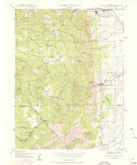
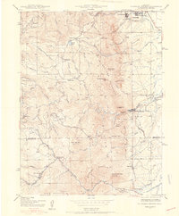
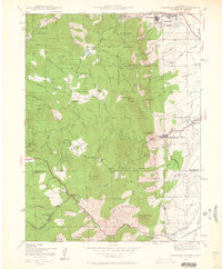
The Flatirons dominate the landscape southwest of Boulder, where the dramatic transition from the plains to the Front Range is meticulously documented during the early 1940s. The map illustrates a complex network of ranching and early mountain settlement, featuring Kossler Ranch and Walker Ranch alongside established community hubs like Chautauqua and the Green Mountain Cemetery. Water management for the growing region is evident through features like the South Boulder Creek Diversion Canal and the City Reservoir.
Find a feature on this map
81 named features on this map. Tap any name to fly to it.
Don’t see what you’re looking for? This feature index may not catch every label — zoom into the map to look around manually.
Map Details
Editions of this 1942 Eldorado Springs Map
4 editions found
Other maps of this area

1899 · West Denver
USGS Topo · 1:125,000

1902 · Boulder
USGS Topo · 1:62,500

1904 · Niwot
USGS Topo · 1:62,500

1904 · Boulder
USGS Topo · 1:62,500

1906 · Blackhawk
USGS Topo · 1:62,500

1939 · Golden
USGS Topo · 1:24,000

1942 · Golden
USGS Topo · 1:31,680

1942 · Louisville
USGS Topo · 1:31,680

1942 · Tungsten
USGS Topo · 1:24,000

1942 · Black Hawk
USGS Topo · 1:24,000