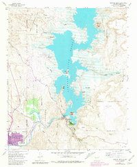
1958 Map of Elephant Butte
USGS Topo · Published 1981About this map
Truth Or Consequences sits at the southwestern edge of this landscape, its urban grid tightly defined within a bend of the Rio Grande. This 1950s survey captures the region as the Elephant Butte Reservoir dominates the center of the sheet, with areas of controlled inundation surrounding Rattlesnake Island and Horse Island. The infrastructure of the era is evident at the Elephant Butte Dam, where a Powerhouse and Gaging Sta manage the river's flow downstream toward Mims Lake and the Cuchillo Negro Creek confluence.
Find a feature on this map
40 named features on this map. Tap any name to fly to it.
Don’t see what you’re looking for? This feature index may not catch every label — zoom into the map to look around manually.
Map Details
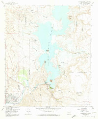
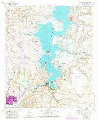
Editions of this 1958 Elephant Butte Map
4 editions found
Other maps of this area

1954 · Tularosa
USGS Topo · 1:250,000

1958 · Tularosa
USGS Topo · 1:250,000

1958 · Elephant Butte
USGS Topo · 1:24,000

1959 · Engle
USGS Topo · 1:62,500

1961 · Huerfano Hill
USGS Topo · 1:24,000

1961 · Black Bluffs
USGS Topo · 1:24,000

1961 · Crocker
USGS Topo · 1:24,000

1961 · Williamsburg
USGS Topo · 1:24,000

1961 · Cuchillo
USGS Topo · 1:24,000

1979 · Truth or Consequences
USGS Topo · 1:100,000
Featured Places
- Truth or Consequences, NM
- Elephant Butte, NM
- Rock Canyon, NM
- Hot Springs Landing, NM
- Elephant Butte Estates, NM