
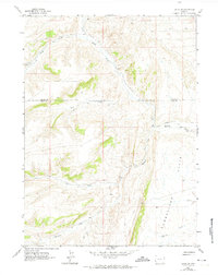
1962 Map of Elkol SW
USGS Topo · Published 1965About this map
Cumberland Flats anchors the southeastern landscape of this 1962 survey, where the drainages of the Lincoln and Uinta borderlands converge. The terrain is defined by a dense network of intermittent waterways, including Hill Creek, Ryckman Creek, and Little Muddy Creek, which carve through the high-elevation basins. Sparse human activity is evidenced by scattered Mine and Prospect workings, suggesting an era of exploratory mineral interest rather than large-scale industrial development. Navigation through this high country relied heavily on the rugged Jeep Trail system, which connects the various creek beds and ridges. The presence of a named Spring and the convergence of Whitney Creek near the southern boundary highlight the critical importance of water sources in this arid Wyoming landscape during the early 1960s.
Find a feature on this map
13 named features on this map. Tap any name to fly to it.
Don’t see what you’re looking for? This feature index may not catch every label — zoom into the map to look around manually.
Map Details
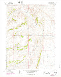
Editions of this 1962 Elkol SW Map
3 editions found
Other maps of this area

1954 · Ogden
USGS Topo · 1:250,000

1958 · Ogden
USGS Topo · 1:250,000

1960 · Ogden
USGS Topo · 1:250,000

1962 · Bell Butte NE
USGS Topo · 1:24,000

1962 · Cumberland Gap
USGS Topo · 1:24,000

1962 · Elkol
USGS Topo · 1:24,000

1962 · Warfield Creek
USGS Topo · 1:24,000

1962 · Bell Butte
USGS Topo · 1:24,000

1965 · Bridger
USGS Topo · 1:24,000

1965 · Little Dee Creek
USGS Topo · 1:24,000