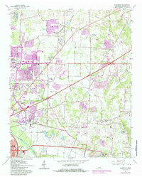
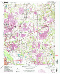
1965 Map of Ellendale
USGS Topo · Published 1984About this map
Shelby Farms and the extensive County Penal Farm dominate the central landscape of this mid-1960s Shelby County survey, as suburban expansion begins to push eastward from Memphis. The area is characterized by a high concentration of institutional and memorial grounds, ranging from the Federal Correctional Center and Memphis Correctional Institute to several large cemeteries such as Memory Hill Gardens and Eastlawn Memorial Park.
Find a feature on this map
49 named features on this map. Tap any name to fly to it.
Don’t see what you’re looking for? This feature index may not catch every label — zoom into the map to look around manually.
Map Details
Editions of this 1965 Ellendale Map
5 editions found
Other maps of this area

1942 · Millington
USGS Topo · 1:62,500

1943 · Collierville
USGS Topo · 1:62,500

1953 · Collierville
USGS Topo · 1:50,000

1954 · Mason
USGS Topo · 1:62,500

1956 · Blytheville
USGS Topo · 1:250,000

1959 · Blytheville
USGS Topo · 1:250,000

1960 · Bartlett
USGS Topo · 1:62,500

1960 · Millington
USGS Topo · 1:62,500

1961 · Bartlett
USGS Topo · 1:62,500
1965 · Collierville
USGS Topo · 1:24,000