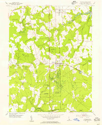
1954 Map of Ellendale
USGS Topo · Published 1955About this map
The Ellendale State Forest dominates the landscape of central Sussex County in this mid-century survey, revealing a region defined by managed timberlands and a network of freshwater branches. The town of Ellendale serves as the focal point, situated at the crossroads of the Dupont Highway and the Pennsylvania railroad line. To the north, the community of Lincoln is surrounded by several notable water bodies, including Clendaniel Pond, Swiggetts Pond, and Cabbage Pond.
Find a feature on this map
32 named features on this map. Tap any name to fly to it.
Don’t see what you’re looking for? This feature index may not catch every label — zoom into the map to look around manually.
Map Details
Editions of this 1954 Ellendale Map
2 editions found
Other maps of this area

1915 · Seaford
USGS Topo · 1:62,500

1917 · Millsboro
USGS Topo · 1:62,500

1918 · Cedar Creek
USGS Topo · 1:62,500

1918 · Harrington
USGS Topo · 1:62,500

1919 · Cedar Creek
USGS Topo · 1:62,500

1938 · Cedar Creek
USGS Topo · 1:62,500

1938 · Millsboro
USGS Topo · 1:62,500
1944 · Milton
USGS Topo · 1:24,000

1944 · Cedar Creek
USGS Topo · 1:62,500

1944 · Millsboro
USGS Topo · 1:62,500