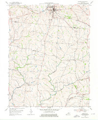
1954 Map of Eminence
USGS Topo · Published 1976About this map
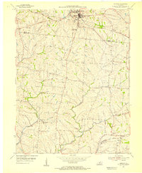
Eminence serves as the primary hub on this mid-century survey, situated at the junction of the Louisville and Nashville railroad and local roads on the border of Henry and Shelby counties. The landscape is defined by the drainage systems of the Little Kentucky River and Clear Creek, where small agricultural settlements like Bellview and Mulberry are established. Notable community landmarks include Pleasant View Ch and Burks Branch Ch, alongside the Mulberry Sch.
Find a feature on this map
18 named features on this map. Tap any name to fly to it.
Don’t see what you’re looking for? This feature index may not catch every label — zoom into the map to look around manually.
Map Details
Editions of this 1954 Eminence Map
3 editions found
Other maps of this area

1923 · Waddy
USGS Topo · 1:48,000

1925 · Mount Eden
USGS Topo · 1:48,000

1927 · Mount Eden
USGS Topo · 1:62,500

1928 · New Castle
USGS Topo · 1:48,000

1929 · Taylorsville
USGS Topo · 1:62,500

1932 · New Castle
USGS Topo · 1:62,500

1932 · La Grange
USGS Topo · 1:62,500

1954 · Ballardsville
USGS Topo · 1:24,000
1954 · New Castle
USGS Topo · 1:24,000
1954 · Eminence
USGS Topo · 1:24,000