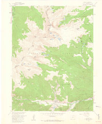
1958 Map of Empire
USGS Topo · Published 1960About this map
Empire and Lawson sit at the confluence of mountain waters where the West Fork Clear Creek meets the main stem of Clear Creek. This 1958 field survey documents a landscape defined by the legacies of hard-rock mining and early high-altitude recreation. The eastern slopes are dotted with workings such as the Minnesota Mine, Conqueror Mine, and the Belview Hudson Tunnel, reflecting the intense mineral exploration of the Front Range.
Find a feature on this map
73 named features on this map. Tap any name to fly to it.
Don’t see what you’re looking for? This feature index may not catch every label — zoom into the map to look around manually.
Map Details
Editions of this 1958 Empire Map
11 editions found
1960 edition
22.1 x 26.9 inches
1960 edition
22.1 x 26.9 inches
1961 edition
22 x 26.9 inches
1961 edition
22 x 26.9 inches
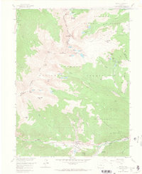
1967 edition
22.1 x 26.9 inches
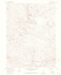
1967 edition
22.1 x 26.9 inches
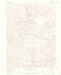
1973 edition
22 x 26.9 inches
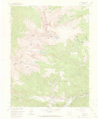
1973 edition
22.1 x 26.9 inches
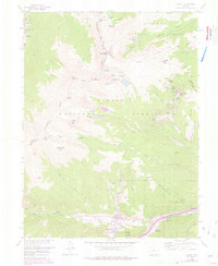
1976 edition
22 x 26.9 inches
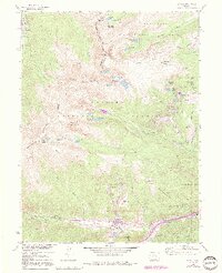
1991 edition
21.98 x 27.02 inches
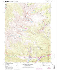
1991 edition
22 x 26.8 inches
Other maps of this area

1903 · Georgetown
USGS Topo · 1:62,500

1905 · Central City
USGS Topo · 1:62,500

1905 · Georgetown
USGS Topo · 1:62,500

1910 · Central City
USGS Topo · 1:62,500

1912 · Central City
USGS Topo · 1:62,500

1924 · Montezuma
USGS Topo · 1:62,500

1924 · Fraser
USGS Topo · 1:62,500

1926 · Fraser
USGS Topo · 1:62,500

1926 · Montezuma
USGS Topo · 1:62,500

1933 · Montezuma
USGS Topo · 1:62,500