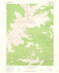
1958 Map of Empire
USGS Topo · Published 1961About this map
The town of Empire sits at the foot of Douglas Mountain and Red Elephant Hill, serving as a central hub for the mining and high-altitude alpine activity of the late 1950s. The landscape is defined by the Continental Divide, which separates the headwaters of the Fraser River from the steep drainages of the Fall River and North Clear Creek. Heavy industry and resource extraction are evident along the valley floors, where the Bellevue Hudson Tunnel and Minnesota Mines are located near the settlement of Lawson. In the higher elevations, the presence of St Marys Glacier Lodge and the Easter Seal Handicamp near Empire suggests a post-war shift toward mountain recreation and institutional use. Numerous alpine lakes, including Loch Lomond and James Peak Lake, dot the basins below peaks like James Peak and Mt. Bancroft, while a network of Pack Trails and Jeep Trails provide access to remote claims such as the Glory Hole and the Conqueror Mines.
Find a feature on this map
74 named features on this map. Tap any name to fly to it.
Don’t see what you’re looking for? This feature index may not catch every label — zoom into the map to look around manually.
Map Details
Editions of this 1958 Empire Map
11 editions found
1960 edition
22.1 x 26.9 inches
1960 edition
22.1 x 26.9 inches
1961 edition
22 x 26.9 inches
1961 edition
22 x 26.9 inches
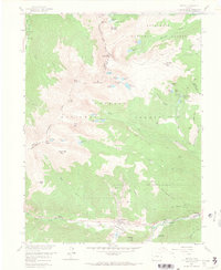
1967 edition
22.1 x 26.9 inches
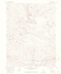
1967 edition
22.1 x 26.9 inches
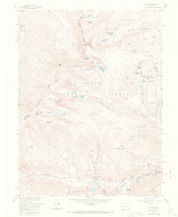
1973 edition
22 x 26.9 inches
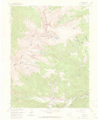
1973 edition
22.1 x 26.9 inches
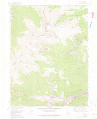
1976 edition
22 x 26.9 inches
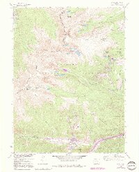
1991 edition
21.98 x 27.02 inches
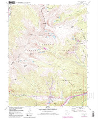
1991 edition
22 x 26.8 inches
Other maps of this area

1903 · Georgetown
USGS Topo · 1:62,500

1905 · Central City
USGS Topo · 1:62,500

1905 · Georgetown
USGS Topo · 1:62,500

1910 · Central City
USGS Topo · 1:62,500

1912 · Central City
USGS Topo · 1:62,500

1924 · Montezuma
USGS Topo · 1:62,500

1924 · Fraser
USGS Topo · 1:62,500

1926 · Fraser
USGS Topo · 1:62,500

1926 · Montezuma
USGS Topo · 1:62,500

1933 · Montezuma
USGS Topo · 1:62,500