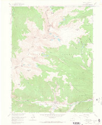
1958 Map of Empire
USGS Topo · Published 1967About this map
Mining history and high-altitude recreation intersect along the Continental Divide in the late 1950s. The settlement of Empire sits at the junction of mountain travel routes, supported by the Empire Guard Station and the Rainbow Rancho Fish Hatchery. To the east, the village of Lawson is surrounded by evidence of the area's extraction economy, including the Bellevue Hudson Tunnel, Boulder Nest Mine, and Free American Mine. The landscape is defined by the sharp transition from the West Fork Clear Creek valley to peaks like James Peak and Mt Bancroft. Notable community sites include the Alvarado Cem and the Easter Seal Handicamp, while high-country destinations like St Marys Glacier Lodge and Loch Lomond reflect the growing draw of the Arapaho National Forest for visitors and residents alike.
Find a feature on this map
75 named features on this map. Tap any name to fly to it.
Don’t see what you’re looking for? This feature index may not catch every label — zoom into the map to look around manually.
Map Details
Editions of this 1958 Empire Map
11 editions found
1960 edition
22.1 x 26.9 inches
1960 edition
22.1 x 26.9 inches
1961 edition
22 x 26.9 inches
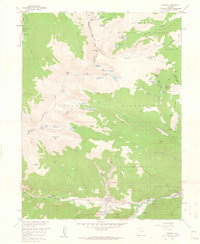
1961 edition
22 x 26.9 inches
1967 edition
22.1 x 26.9 inches
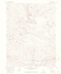
1967 edition
22.1 x 26.9 inches
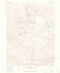
1973 edition
22 x 26.9 inches
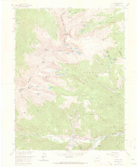
1973 edition
22.1 x 26.9 inches
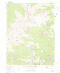
1976 edition
22 x 26.9 inches
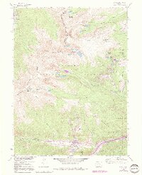
1991 edition
21.98 x 27.02 inches
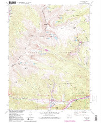
1991 edition
22 x 26.8 inches
Other maps of this area

1903 · Georgetown
USGS Topo · 1:62,500

1905 · Central City
USGS Topo · 1:62,500

1905 · Georgetown
USGS Topo · 1:62,500

1910 · Central City
USGS Topo · 1:62,500

1912 · Central City
USGS Topo · 1:62,500

1924 · Montezuma
USGS Topo · 1:62,500

1924 · Fraser
USGS Topo · 1:62,500

1926 · Fraser
USGS Topo · 1:62,500

1926 · Montezuma
USGS Topo · 1:62,500

1933 · Montezuma
USGS Topo · 1:62,500