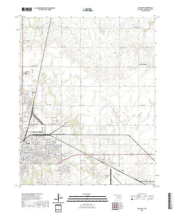
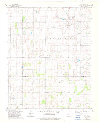
2022 Map of Enid East
USGS Topo · Published 2022About this map
Enid's eastern sprawl meets the agricultural plains of Garfield County in this contemporary survey, where urban residential grids give way to the section-line roads of the Oklahoma prairie. The landscape is defined by the headwaters of several drainage systems, including Skeleton Cr and Boggy Cr, which carve subtle paths through the terrain. Higher education is a central pillar of this area, anchored by the campuses of Northern Oklahoma College - Enid and Northwestern Oklahoma University - Enid.
Find a feature on this map
65 named features on this map. Tap any name to fly to it.
Don’t see what you’re looking for? This feature index may not catch every label — zoom into the map to look around manually.
Map Details
Editions of this 2022 Enid East Map
This is the sole edition of this map. No revisions or reprints were ever made.
Historical Maps of Enid Through Time
20 maps found
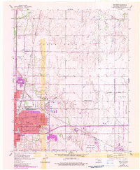
1955 Enid East
Garfield County, OK
1955 Enid West
Garfield County, OK
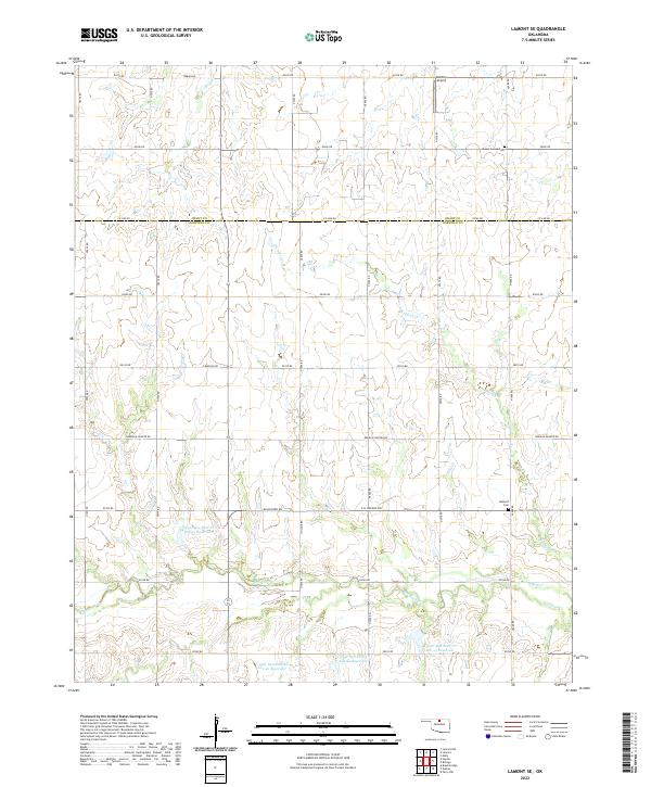
1968 Lamont SE
Garfield County, OK
1969 Jet SE
Garfield County, OK
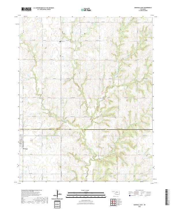
1974 Marshall East
Garfield County, OK
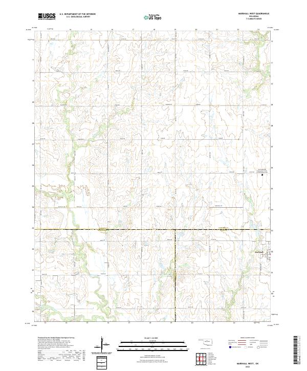
1974 Marshall West
Garfield County, OK
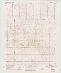
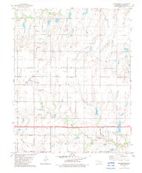
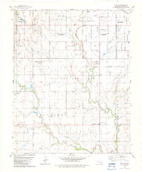
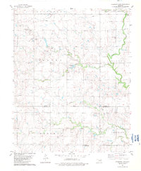
1982 Barr
Garfield County, OK
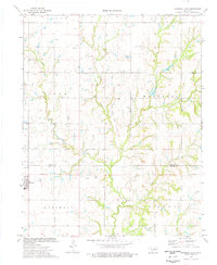
1982 Breckinridge
Garfield County, OK
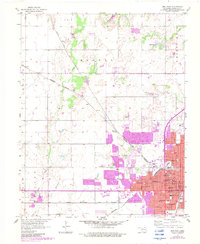
1982 Enid SE
Garfield County, OK
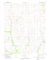
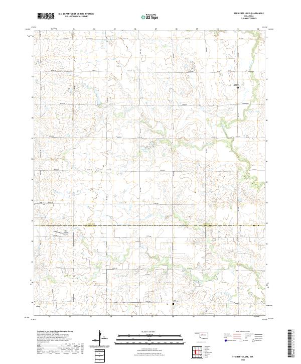
1982 Steinerts Lake
Garfield County, OK
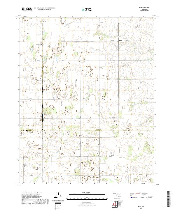
2022 Barr
Garfield County, OK
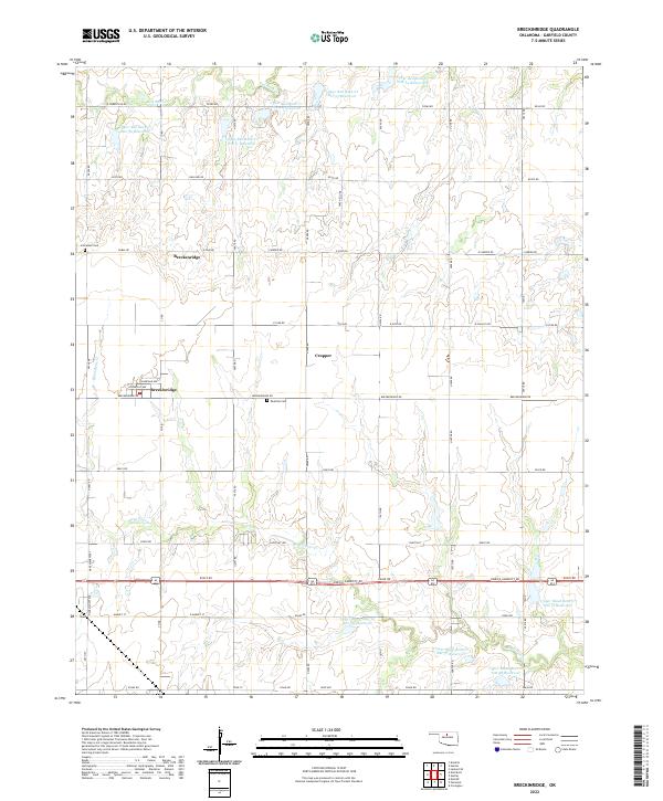
2022 Breckinridge
Garfield County, OK
2022 Enid East
Garfield County, OK
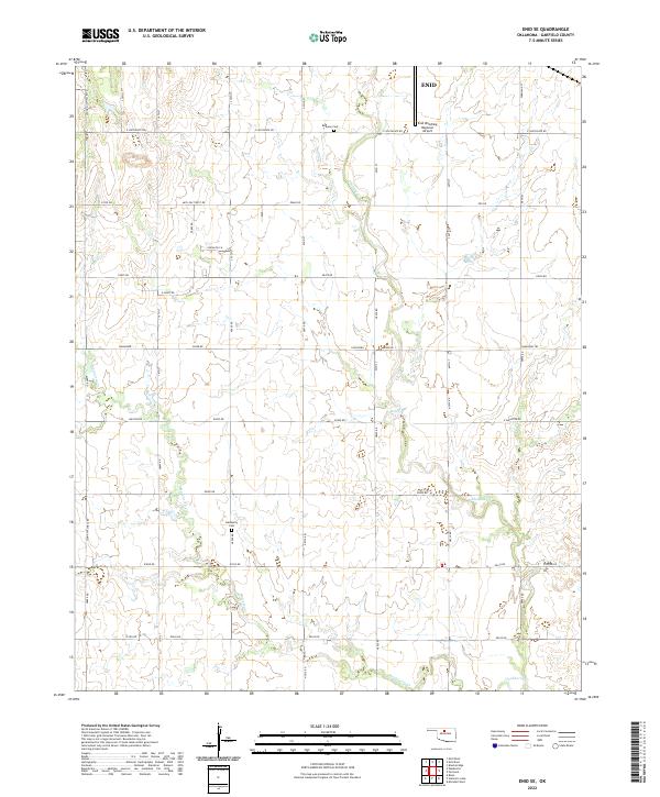
2022 Enid SE
Garfield County, OK
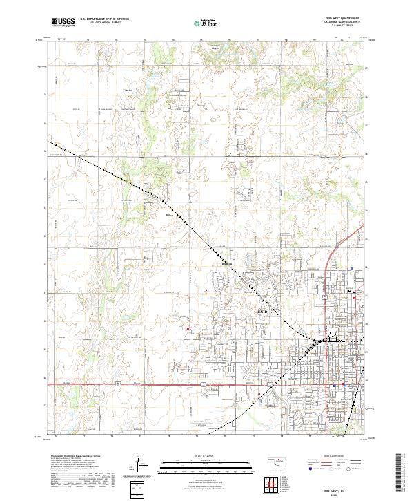
2022 Enid West
Garfield County, OK
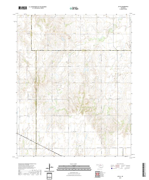
2022 Jet SE
Garfield County, OK
2022 Lamont SE
Garfield County, OK
2022 Marshall East
Garfield County, OK
2022 Marshall West
Garfield County, OK
2022 Steinerts Lake
Garfield County, OK