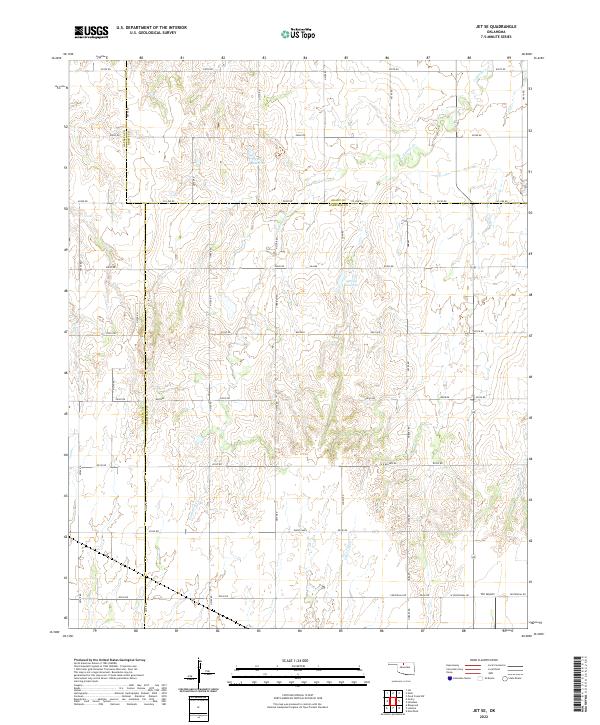
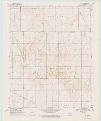
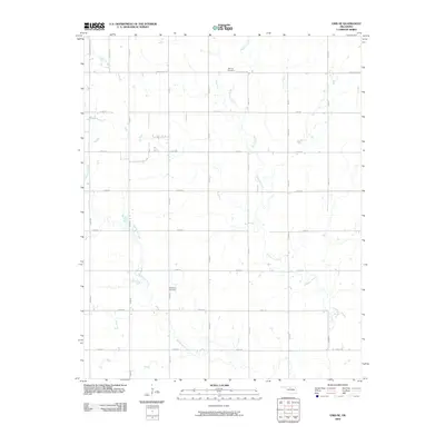
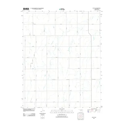
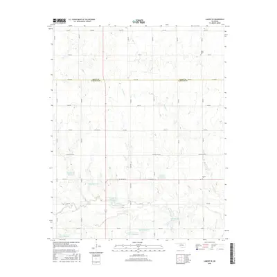
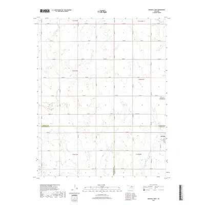
2022 Map of Jet SE
USGS Topo · Published 2022About this map
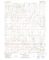
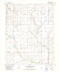
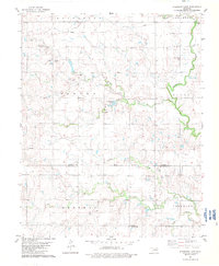
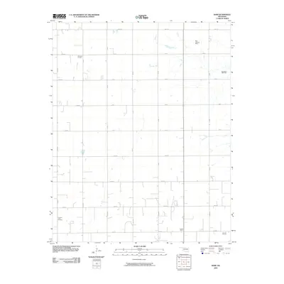
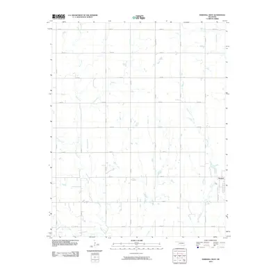
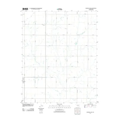
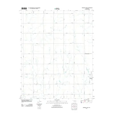
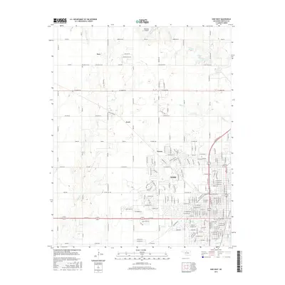
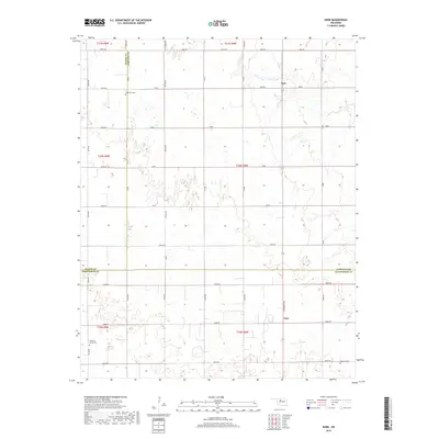
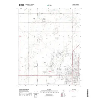
The northern Oklahoma plains, where Alfalfa, Grant, and Garfield counties converge, are defined by a strict section-line grid and the winding drainage of Coldwater Cr. This agricultural landscape is etched with local history, from the rural crossroads along Co Line Rd to the small-scale aviation of TLC Airport near the southern boundary. The terrain is relatively flat, punctuated by seasonal water bodies like 053002 Reservoir and 047010 Reservoir, which serve as vital catchments in this prairie environment.
Find a feature on this map
27 named features on this map. Tap any name to fly to it.
Don’t see what you’re looking for? This feature index may not catch every label — zoom into the map to look around manually.
Map Details
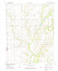
Editions of this 2022 Jet SE Map
This is the sole edition of this map. No revisions or reprints were ever made.
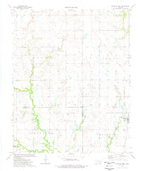
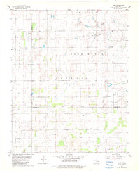
Historical Maps of Garfield County Through Time
60 maps found
1955 Enid East
Garfield County, OK
1955 Enid West
Garfield County, OK
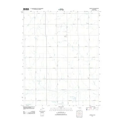
1968 Lamont SE
Garfield County, OK
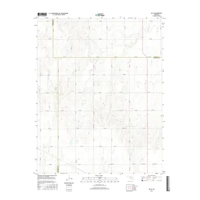
1969 Jet SE
Garfield County, OK
1974 Marshall East
Garfield County, OK
1974 Marshall West
Garfield County, OK
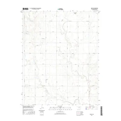
1982 Barr
Garfield County, OK
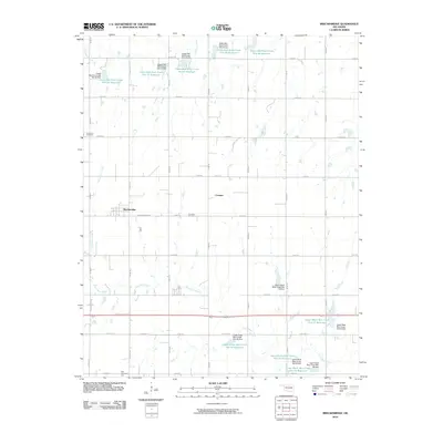
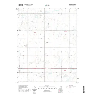
1982 Breckinridge
Garfield County, OK
1982 Enid SE
Garfield County, OK
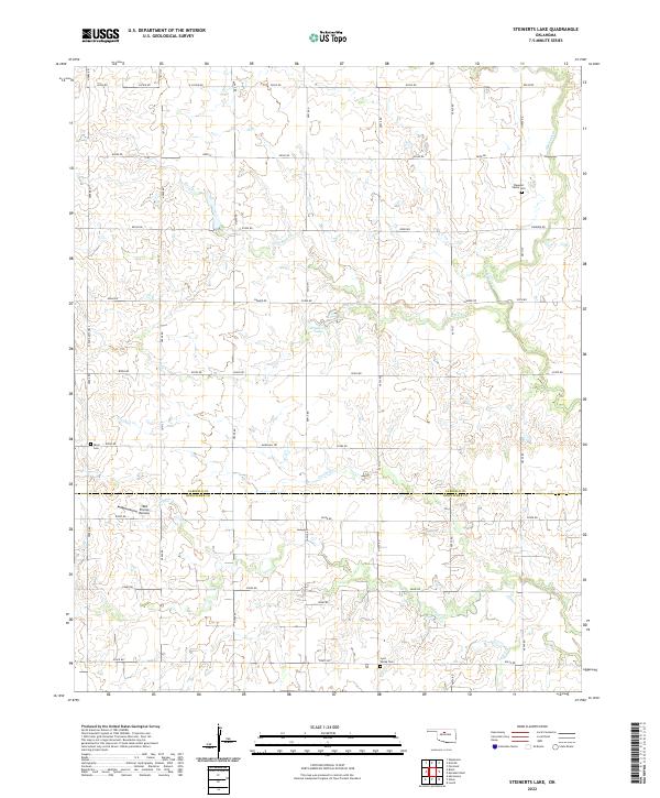
1982 Steinerts Lake
Garfield County, OK
2009 Barr
Garfield County, OK
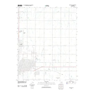
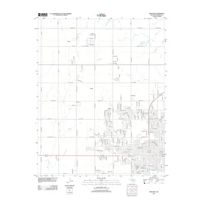
2009 Enid SE
Garfield County, OK
2009 Enid West
Garfield County, OK
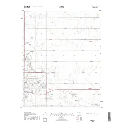
2009 Jet SE
Garfield County, OK
2009 Steinerts Lake
Garfield County, OK
2010 Breckinridge
Garfield County, OK
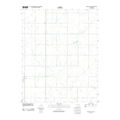
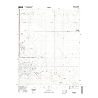
2010 Enid East
Garfield County, OK
2010 Lamont SE
Garfield County, OK
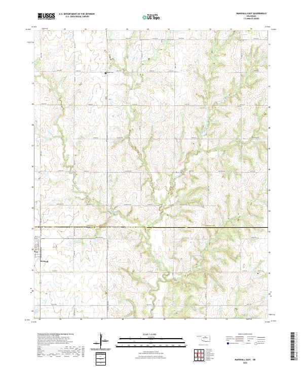
2010 Marshall East
Garfield County, OK
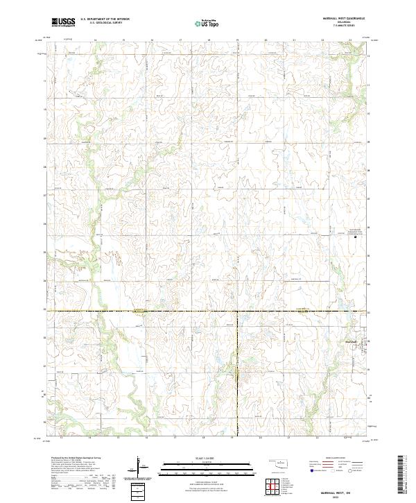
2010 Marshall West
Garfield County, OK
2012 Barr
Garfield County, OK
2012 Breckinridge
Garfield County, OK
2012 Enid East
Garfield County, OK
2012 Enid SE
Garfield County, OK
2012 Enid West
Garfield County, OK
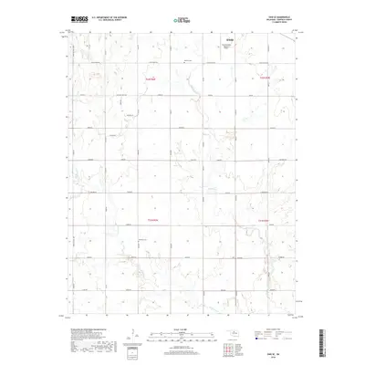
2012 Jet SE
Garfield County, OK
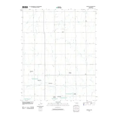
2012 Lamont SE
Garfield County, OK
2012 Marshall East
Garfield County, OK
2012 Marshall West
Garfield County, OK
2012 Steinerts Lake
Garfield County, OK
2016 Barr
Garfield County, OK

2016 Breckinridge
Garfield County, OK
2016 Enid East
Garfield County, OK
2016 Enid SE
Garfield County, OK
2016 Enid West
Garfield County, OK
2016 Jet SE
Garfield County, OK
2016 Lamont SE
Garfield County, OK
2016 Marshall East
Garfield County, OK
2016 Marshall West
Garfield County, OK
2016 Steinerts Lake
Garfield County, OK
2018 Barr
Garfield County, OK
2018 Breckinridge
Garfield County, OK
2018 Enid East
Garfield County, OK
2018 Enid SE
Garfield County, OK
2018 Enid West
Garfield County, OK
2018 Jet SE
Garfield County, OK
2018 Lamont SE
Garfield County, OK
2018 Marshall East
Garfield County, OK
2018 Marshall West
Garfield County, OK
2018 Steinerts Lake
Garfield County, OK
2022 Barr
Garfield County, OK
2022 Breckinridge
Garfield County, OK
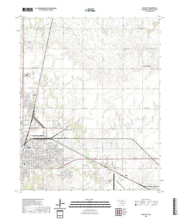
2022 Enid East
Garfield County, OK
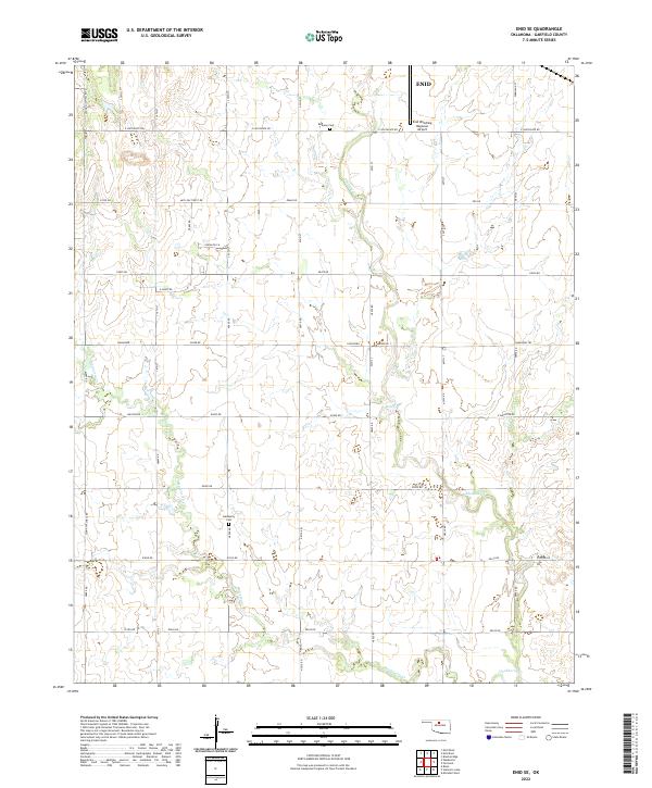
2022 Enid SE
Garfield County, OK
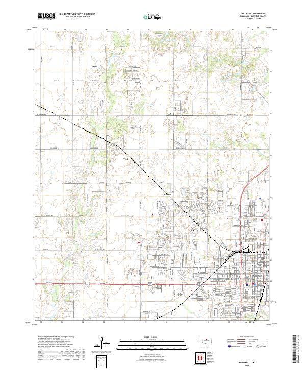
2022 Enid West
Garfield County, OK
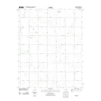
2022 Jet SE
Garfield County, OK
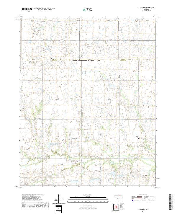
2022 Lamont SE
Garfield County, OK
2022 Marshall East
Garfield County, OK
2022 Marshall West
Garfield County, OK
2022 Steinerts Lake
Garfield County, OK