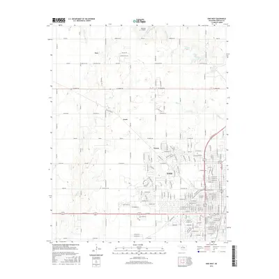
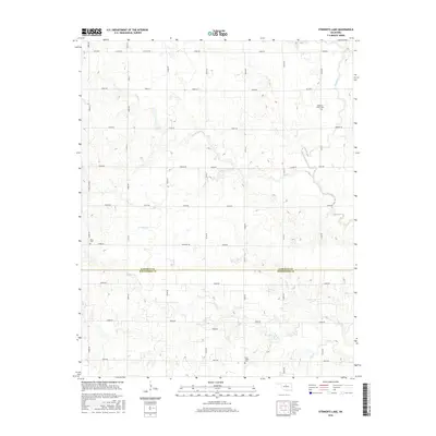
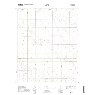
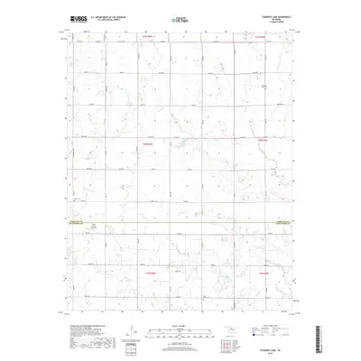
2022 Map of Steinerts Lake
USGS Topo · Published 2022About this map
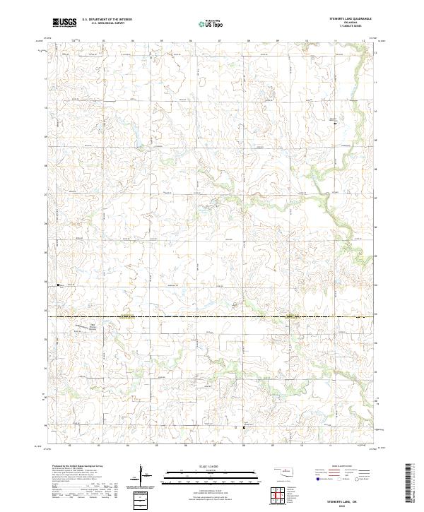
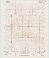
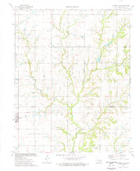
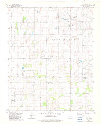
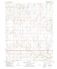
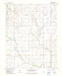
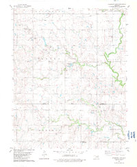
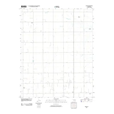
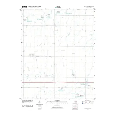
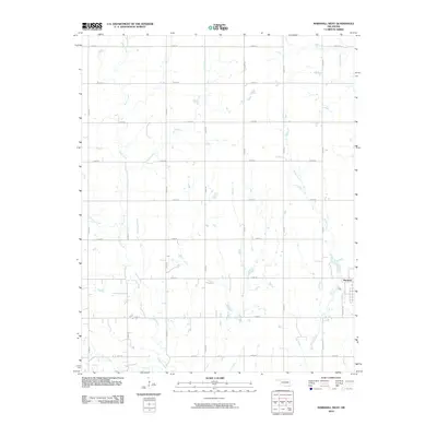
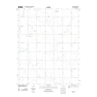
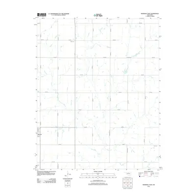
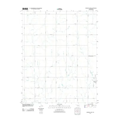
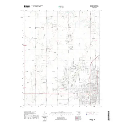
Steinerts Lake and a dense network of seasonal creek drainages define this agricultural landscape along the northern border of Kingfisher County. This contemporary 2022 survey captures a rural Oklahoma terrain organized by a strict grid of section-line roads, including E0530 Rd and N2900 Rd, which connect scattered farmsteads and local cemeteries. The landscape is primarily shaped by the winding paths of Skeleton Cr, Rock Cr, and Lyon Cr, which break the geometric precision of the fields. For genealogists and local historians, the map identifies several critical burial sites that serve as anchors for the surrounding rural community, such as Lyon Valley Cem in the south, Pleasant Valley Cem to the northeast, and Bison Cem near the western boundary. A unique modern addition to this traditional landscape is the 1904 Private Runway, positioned north of E0590 Rd.
Find a feature on this map
50 named features on this map. Tap any name to fly to it.
Don’t see what you’re looking for? This feature index may not catch every label — zoom into the map to look around manually.
Map Details
Editions of this 2022 Steinerts Lake Map
This is the sole edition of this map. No revisions or reprints were ever made.
Historical Maps of Garfield County Through Time
60 maps found
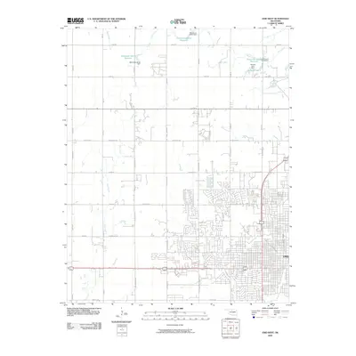
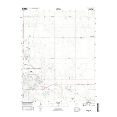
1955 Enid East
Garfield County, OK
1955 Enid West
Garfield County, OK
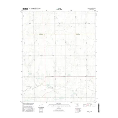
1968 Lamont SE
Garfield County, OK
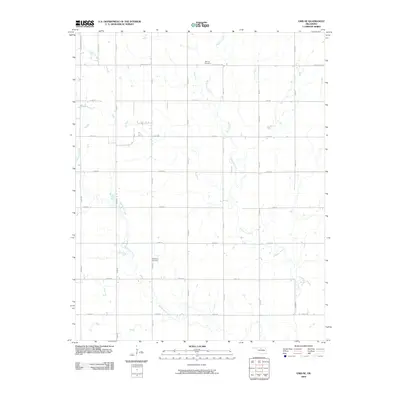
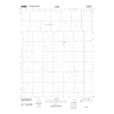
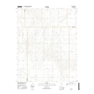
1969 Jet SE
Garfield County, OK
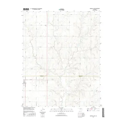
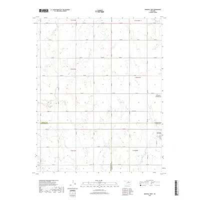
1974 Marshall East
Garfield County, OK
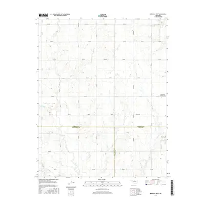
1974 Marshall West
Garfield County, OK
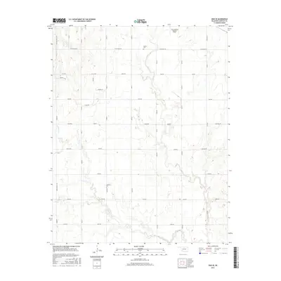
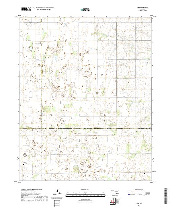
1982 Barr
Garfield County, OK
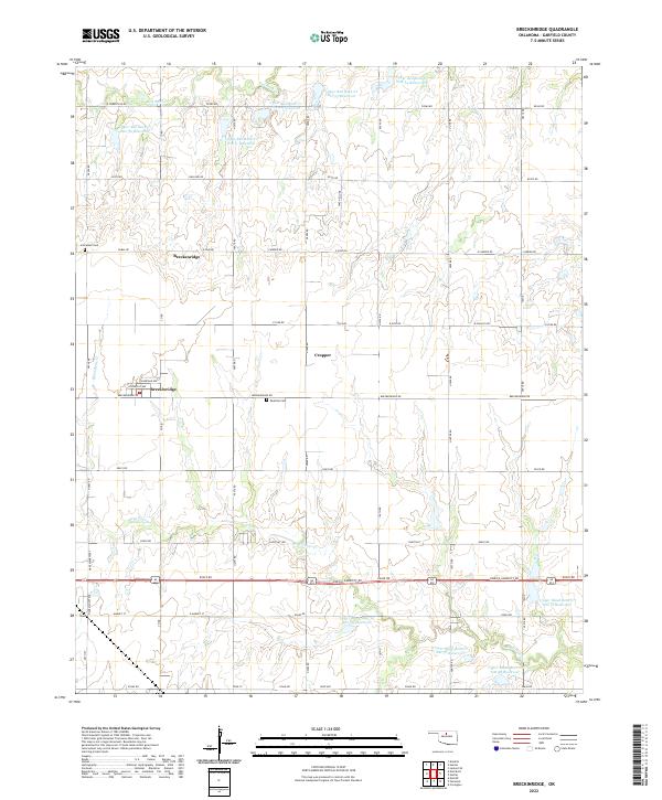
1982 Breckinridge
Garfield County, OK
1982 Enid SE
Garfield County, OK
1982 Steinerts Lake
Garfield County, OK
2009 Barr
Garfield County, OK
2009 Enid SE
Garfield County, OK
2009 Enid West
Garfield County, OK
2009 Jet SE
Garfield County, OK
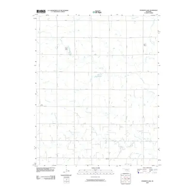
2009 Steinerts Lake
Garfield County, OK
2010 Breckinridge
Garfield County, OK
2010 Enid East
Garfield County, OK
2010 Lamont SE
Garfield County, OK
2010 Marshall East
Garfield County, OK
2010 Marshall West
Garfield County, OK
2012 Barr
Garfield County, OK
2012 Breckinridge
Garfield County, OK
2012 Enid East
Garfield County, OK
2012 Enid SE
Garfield County, OK
2012 Enid West
Garfield County, OK
2012 Jet SE
Garfield County, OK
2012 Lamont SE
Garfield County, OK
2012 Marshall East
Garfield County, OK
2012 Marshall West
Garfield County, OK
2012 Steinerts Lake
Garfield County, OK
2016 Barr
Garfield County, OK

2016 Breckinridge
Garfield County, OK
2016 Enid East
Garfield County, OK
2016 Enid SE
Garfield County, OK
2016 Enid West
Garfield County, OK
2016 Jet SE
Garfield County, OK
2016 Lamont SE
Garfield County, OK
2016 Marshall East
Garfield County, OK
2016 Marshall West
Garfield County, OK
2016 Steinerts Lake
Garfield County, OK
2018 Barr
Garfield County, OK
2018 Breckinridge
Garfield County, OK
2018 Enid East
Garfield County, OK
2018 Enid SE
Garfield County, OK
2018 Enid West
Garfield County, OK
2018 Jet SE
Garfield County, OK
2018 Lamont SE
Garfield County, OK
2018 Marshall East
Garfield County, OK
2018 Marshall West
Garfield County, OK
2018 Steinerts Lake
Garfield County, OK
2022 Barr
Garfield County, OK
2022 Breckinridge
Garfield County, OK
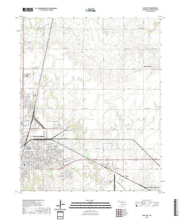
2022 Enid East
Garfield County, OK
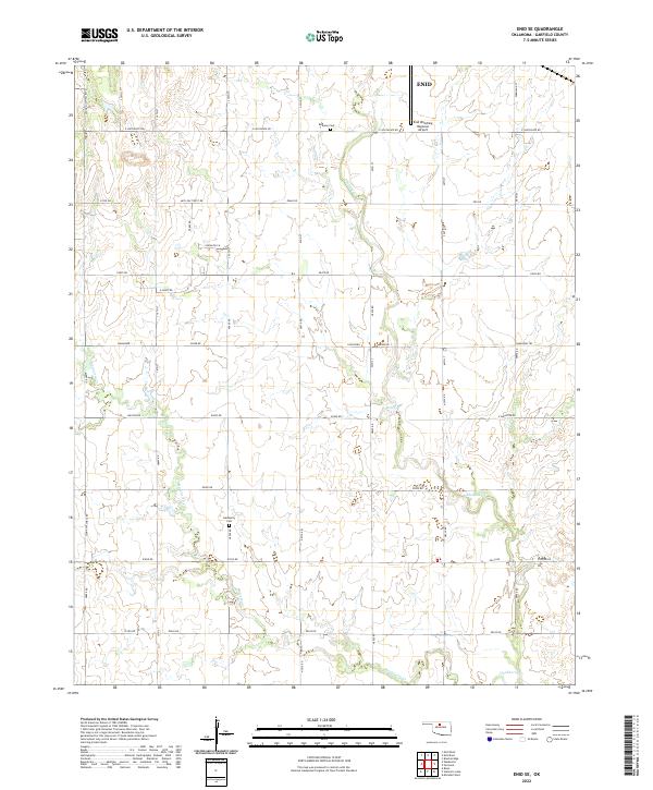
2022 Enid SE
Garfield County, OK
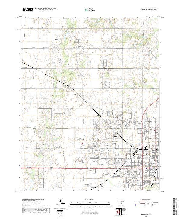
2022 Enid West
Garfield County, OK
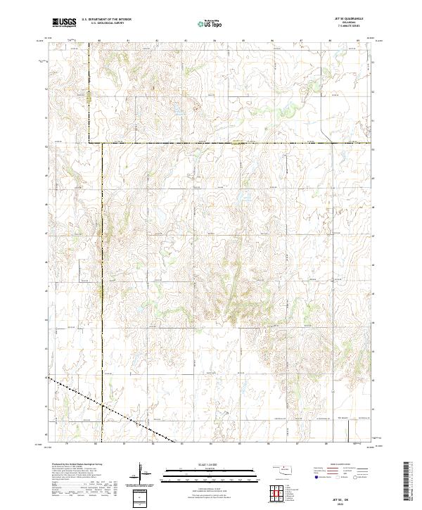
2022 Jet SE
Garfield County, OK
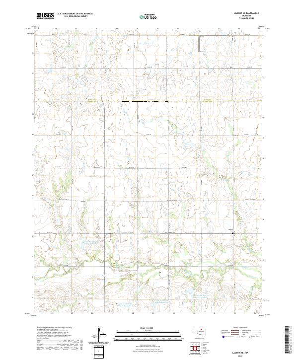
2022 Lamont SE
Garfield County, OK
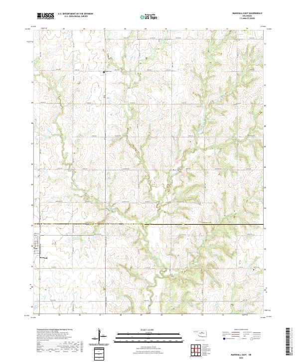
2022 Marshall East
Garfield County, OK
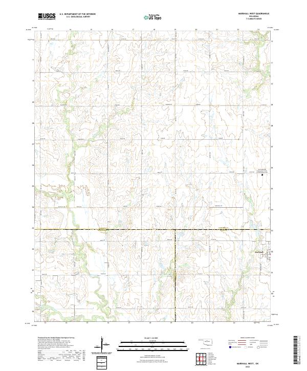
2022 Marshall West
Garfield County, OK
2022 Steinerts Lake
Garfield County, OK