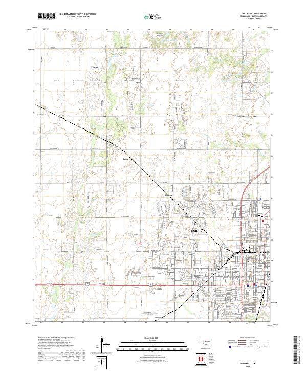
2022 Map of Enid West
USGS Topo · Published 2022About this map
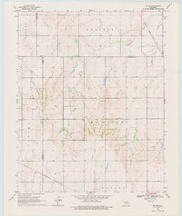
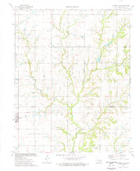
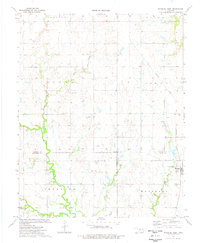
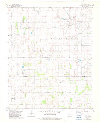
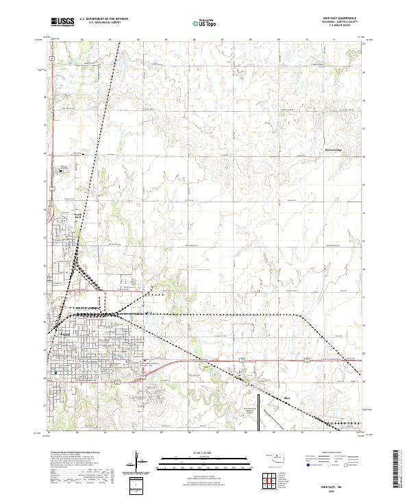
The city of Enid anchors the southeastern corner of this study, where the Garfield County Courthouse and local Post Office serve as central landmarks. Moving away from the urban grid, the landscape transitions into an organized rural expanse defined by section lines and small named settlements like Blanton, Jonah, and Ituna. Water resources are a defining characteristic of this Garfield County terrain, with multiple reservoirs such as 04703 Reservoir and 04707 Reservoir appearing alongside the winding paths of Skeleton Creek and Clear Creek. Local heritage is preserved in sites like the Enid Cemetery and Calvary Catholic Cemetery, while the presence of Chisholm Trail Rd in the north provides a direct link to the region's historic cattle-driving routes. The map also captures the topography of Ninemile Canyons and the recreational waters of Lake Hellums.
Find a feature on this map
212 named features on this map. Tap any name to fly to it.
Don’t see what you’re looking for? This feature index may not catch every label — zoom into the map to look around manually.
Map Details
Editions of this 2022 Enid West Map
This is the sole edition of this map. No revisions or reprints were ever made.
Historical Maps of Enid Through Time
20 maps found
1955 Enid East
Garfield County, OK
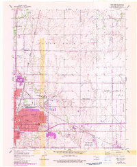
1955 Enid West
Garfield County, OK
1968 Lamont SE
Garfield County, OK
1969 Jet SE
Garfield County, OK
1974 Marshall East
Garfield County, OK
1974 Marshall West
Garfield County, OK
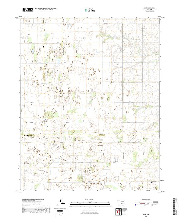
1982 Barr
Garfield County, OK
1982 Breckinridge
Garfield County, OK
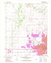
1982 Enid SE
Garfield County, OK
1982 Steinerts Lake
Garfield County, OK
2022 Barr
Garfield County, OK
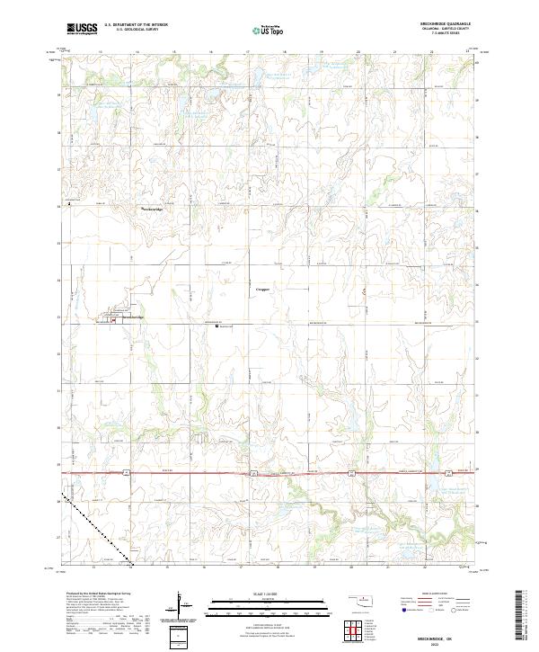
2022 Breckinridge
Garfield County, OK
2022 Enid East
Garfield County, OK
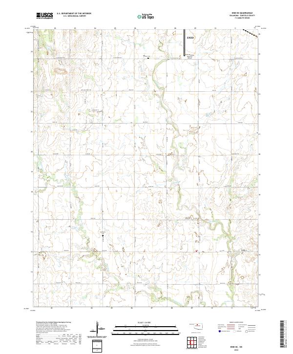
2022 Enid SE
Garfield County, OK
2022 Enid West
Garfield County, OK
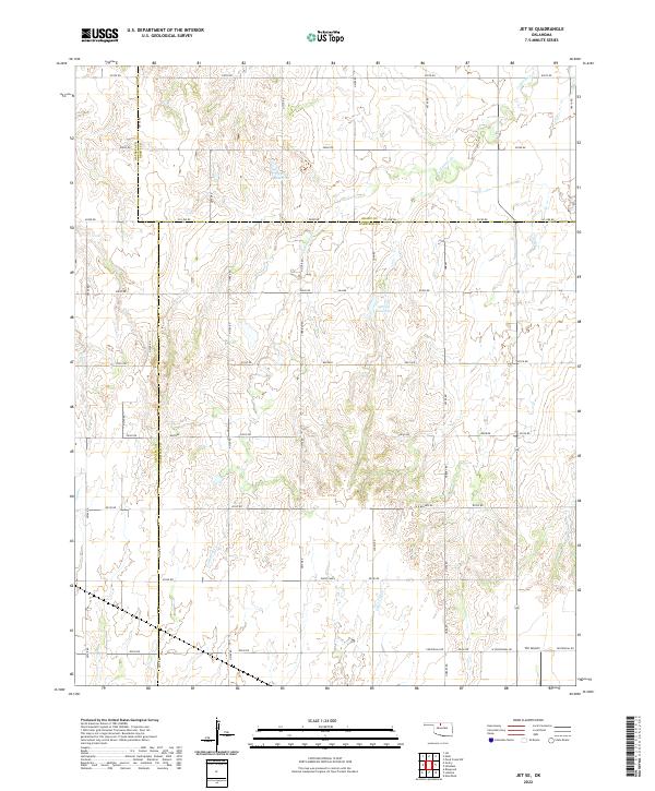
2022 Jet SE
Garfield County, OK
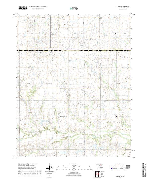
2022 Lamont SE
Garfield County, OK
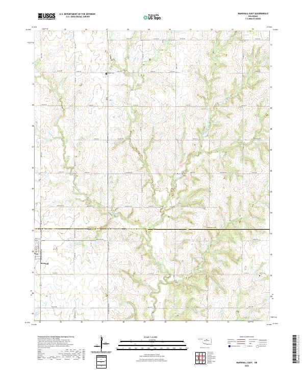
2022 Marshall East
Garfield County, OK
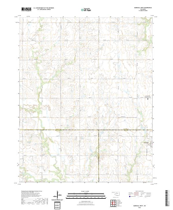
2022 Marshall West
Garfield County, OK
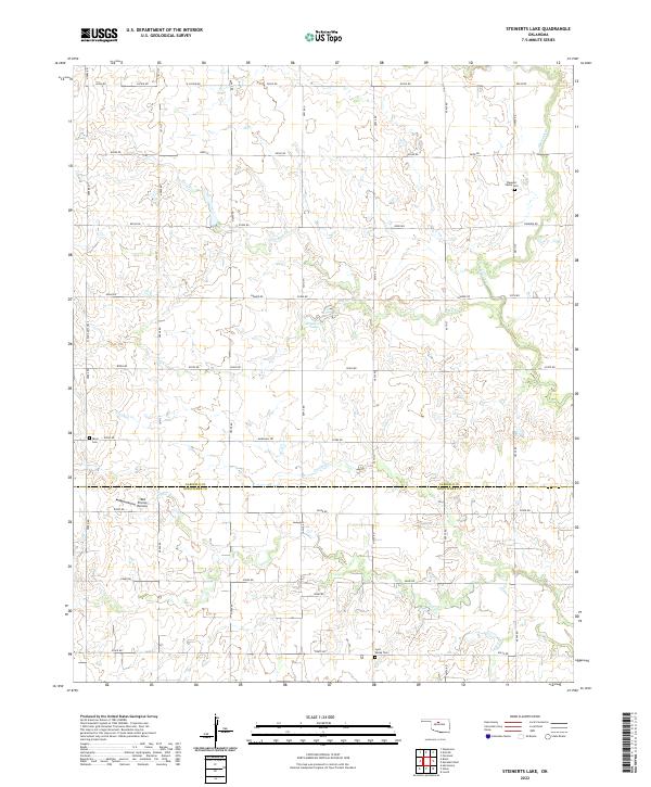
2022 Steinerts Lake
Garfield County, OK