
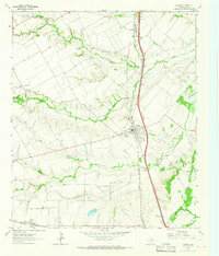
1962 Map of Ennis West
USGS Topo · Published 1965About this map
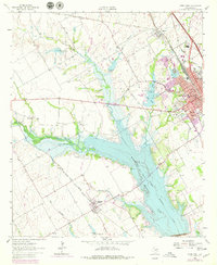
The Bardwell Reservoir dominates this Central Texas landscape, following the course of Waxahachie Creek and Mustang Creek. This 1960s-era geography captures the region as the reservoir altered the local drainage, with several older bodies of water like Old Lake, New Lake, and Lake Clark appearing near the town of Ennis. The town itself serves as a significant rail hub, where the Southern Pacific line intersects the urban grid, supported by community landmarks such as the High School, a Hospital, and Myrtle Cemetery. To the southwest, the settlement of Bardwell sits near the reservoir's edge, while smaller local landmarks like Bethel Ch and the Lakeside Country Club reflect the social fabric of Ellis County during this period of hydrological development.
Find a feature on this map
29 named features on this map. Tap any name to fly to it.
Don’t see what you’re looking for? This feature index may not catch every label — zoom into the map to look around manually.
Map Details
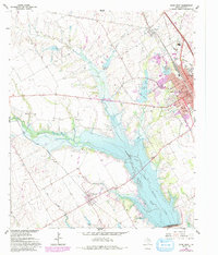
Editions of this 1962 Ennis West Map
3 editions found
Other maps of this area

1954 · Dallas
USGS Topo · 1:250,000

1956 · Ennis
USGS Topo · 1:62,500

1958 · Dallas
USGS Topo · 1:250,000

1961 · Forreston
USGS Topo · 1:24,000
1961 · Waxahachie
USGS Topo · 1:24,000

1962 · Emhouse
USGS Topo · 1:24,000

1962 · Ennis East
USGS Topo · 1:24,000

1962 · Cryer Creek
USGS Topo · 1:24,000
1962 · Bristol
USGS Topo · 1:24,000
1963 · Palmer
USGS Topo · 1:24,000