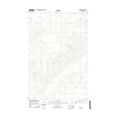
2014 Map of Epworth
USGS Topo · Published 2014About this map
The settlement of Epworth anchors this northwestern North Dakota landscape, a region defined by a regular grid of section roads and the winding path of Shell Cr. This 2014 survey by the U.S. Geological Survey captures the rural character of Mountrail County, where the elevation changes are marked by fine-lined contour intervals. For those researching family history or local land use, Johns Cem stands as a significant landmark in the northeast quadrant. The map detail reflects the persistence of original township planning, with numbered routes like 49th St NW and 75th Ave NW providing the primary structure for movement across the prairie. The drainage of Shell Cr cuts diagonally through the southern half of the sheet, introducing variations in the otherwise orderly agricultural layout.
Find a feature on this map
18 named features on this map. Tap any name to fly to it.
Don’t see what you’re looking for? This feature index may not catch every label — zoom into the map to look around manually.
Map Details
Editions of this 2014 Epworth Map
This is the sole edition of this map. No revisions or reprints were ever made.
Other maps of this area
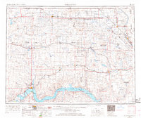
1953 · Williston
USGS Topo · 1:250,000

1953 · Watford City
USGS Topo · 1:250,000
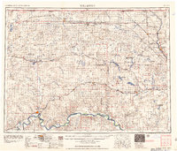
1957 · Williston
USGS Topo · 1:250,000

1957 · Watford City
USGS Topo · 1:250,000

1967 · Watford City
USGS Topo · 1:250,000
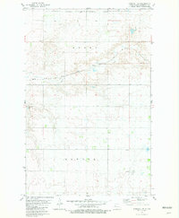
1981 · Parshall NE
USGS Topo · 1:24,000
1981 · Epworth SE
USGS Topo · 1:24,000
1981 · Belden SE
USGS Topo · 1:24,000
1981 · Shell Lake
USGS Topo · 1:24,000
1981 · Parshall
USGS Topo · 1:24,000