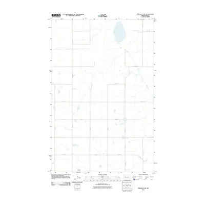
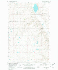
2011 Map of Epworth NW
USGS Topo · Published 2011About this map
Epworth Cemetery sits at the southern edge of this landscape in Mountrail County, serving as a significant landmark for local family historians. The terrain is defined by a grid of rural section roads, including Palermo Rd and 50th St NW, which navigate a prairie environment dotted with numerous small wetlands and depressions. The most prominent natural feature is Shell Creek, which meanders across the eastern half of the map, carving a winding path through the northern plains. This 2011 survey by the U.S. Geological Survey illustrates the intersection of organized agricultural land divisions and the natural water drainage patterns of the region.
Find a feature on this map
18 named features on this map. Tap any name to fly to it.
Don’t see what you’re looking for? This feature index may not catch every label — zoom into the map to look around manually.
Map Details
Editions of this 2011 Epworth NW Map
This is the sole edition of this map. No revisions or reprints were ever made.
Other maps of this area

1953 · Williston
USGS Topo · 1:250,000

1957 · Williston
USGS Topo · 1:250,000
1969 · Stanley SE
USGS Topo · 1:24,000
1981 · Epworth SE
USGS Topo · 1:24,000
1981 · Belden SE
USGS Topo · 1:24,000
1981 · Stanley SE
USGS Topo · 1:24,000
1981 · Palermo
USGS Topo · 1:24,000
1981 · Shell Lake
USGS Topo · 1:24,000
1981 · Epworth
USGS Topo · 1:24,000
1981 · Epworth NW
USGS Topo · 1:24,000