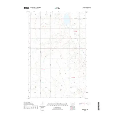
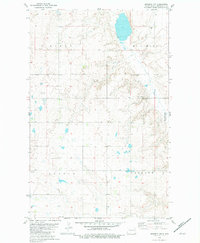
2017 Map of Epworth NW
USGS Topo · Published 2017About this map
The glacial prairie of Mountrail County is defined here by the winding course of Shell Creek, which flows through the eastern portion of the map, and the isolated Shell Lake Cem in the northwest. This section of the North Dakota plains is organized by a rigid grid of gravel routes and section lines, including Palermo Rd, Belden Rd, and Prairie Trl. The landscape is dotted with numerous small potholes and wetlands, characteristic of the Drift Prairie region, which have historically influenced the placement of farms and transit paths. Surveyed in the 21st century, the map documents the persistent agricultural footprint across townships T155N R90W and T154N R89W, where local history is anchored by family-named section roads and the enduring presence of rural cemeteries.
Find a feature on this map
27 named features on this map. Tap any name to fly to it.
Don’t see what you’re looking for? This feature index may not catch every label — zoom into the map to look around manually.
Map Details
Editions of this 2017 Epworth NW Map
This is the sole edition of this map. No revisions or reprints were ever made.
Other maps of this area

1953 · Williston
USGS Topo · 1:250,000

1957 · Williston
USGS Topo · 1:250,000
1969 · Stanley SE
USGS Topo · 1:24,000
1981 · Epworth SE
USGS Topo · 1:24,000
1981 · Belden SE
USGS Topo · 1:24,000
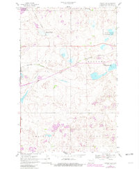
1981 · Stanley SE
USGS Topo · 1:24,000
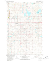
1981 · Palermo
USGS Topo · 1:24,000
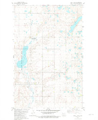
1981 · Shell Lake
USGS Topo · 1:24,000
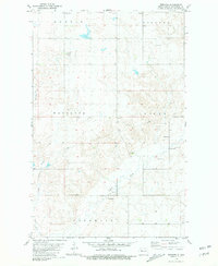
1981 · Epworth
USGS Topo · 1:24,000
1981 · Epworth NW
USGS Topo · 1:24,000