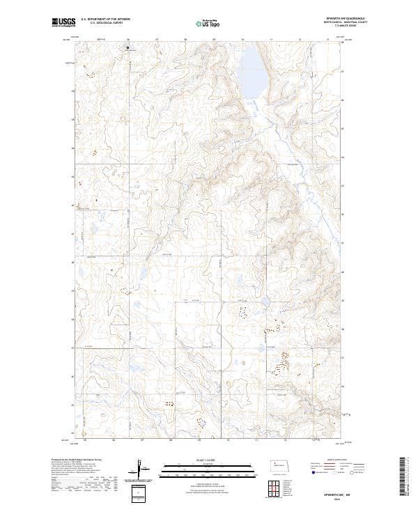
2024 Map of Epworth NW
USGS Topo · Published 2024About this map
Shell Lake National Wildlife Refuge dominates the northeastern corner of this Mountrail County landscape, where the waters of Shell Creek wind through the glacial depressions of the Missouri Plateau. This 2024 survey captures the rural character of the region, defined by a rigid grid of section lines and gravel roads such as Palermo Rd and Belden Rd. For those tracing local heritage, the Shell Lake Cem stands as a primary landmark in the northern reaches of the quadrangle. The map illustrates a classic Great Plains settlement pattern, where small wetland basins dot the landscape between cultivated fields, reflecting the hydrology of the Williston Basin region. The survey also delineates the boundaries for townships including t155n r90w and t155n r89w, providing a precise look at the modern land use and public survey divisions in North Dakota.
Find a feature on this map
25 named features on this map. Tap any name to fly to it.
Don’t see what you’re looking for? This feature index may not catch every label — zoom into the map to look around manually.
Map Details
Editions of this 2024 Epworth NW Map
This is the sole edition of this map. No revisions or reprints were ever made.
Other maps of this area

1953 · Williston
USGS Topo · 1:250,000

1957 · Williston
USGS Topo · 1:250,000

1969 · Stanley SE
USGS Topo · 1:24,000
1981 · Epworth SE
USGS Topo · 1:24,000
1981 · Belden SE
USGS Topo · 1:24,000

1981 · Stanley SE
USGS Topo · 1:24,000

1981 · Palermo
USGS Topo · 1:24,000
1981 · Shell Lake
USGS Topo · 1:24,000
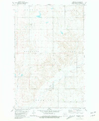
1981 · Epworth
USGS Topo · 1:24,000
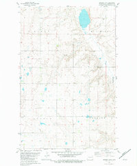
1981 · Epworth NW
USGS Topo · 1:24,000