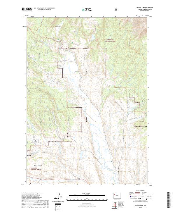
2021 Map of Esmond Park
USGS Topo · Published 2021About this map
Shoshone National Forest encompasses the vast majority of this high-altitude landscape, where the headwaters of the Wind River drain a complex network of seasonal and perennial streams. The topography is defined by prominent elevations like Elk Ridge and open meadows such as Esmond Park, which provide critical reference points for backcountry navigation. The hydrography is particularly intricate, featuring high-country bodies of water like Trail Lake and Gap Lake alongside numerous named drainages including Long Creek and Sixmile Cr.
Find a feature on this map
41 named features on this map. Tap any name to fly to it.
Don’t see what you’re looking for? This feature index may not catch every label — zoom into the map to look around manually.
Map Details
Editions of this 2021 Esmond Park Map
This is the sole edition of this map. No revisions or reprints were ever made.
Other maps of this area

1905 · Younts Peak
USGS Topo · 1:125,000

1907 · Younts Peak
USGS Topo · 1:125,000

1955 · Thermopolis
USGS Topo · 1:250,000

1956 · Dubois
USGS Topo · 1:24,000

1956 · Esmond Park
USGS Topo · 1:24,000

1956 · Shoshone Pass
USGS Topo · 1:24,000

1956 · Ramshorn Peak
USGS Topo · 1:24,000

1956 · Warm Spring Mountain
USGS Topo · 1:24,000

1956 · Five Pockets
USGS Topo · 1:24,000

1956 · Fish Lake
USGS Topo · 1:24,000