Loading...
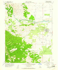
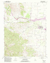
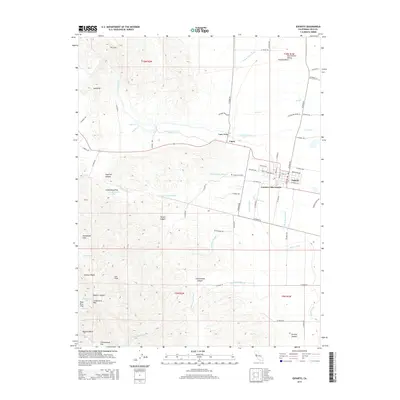
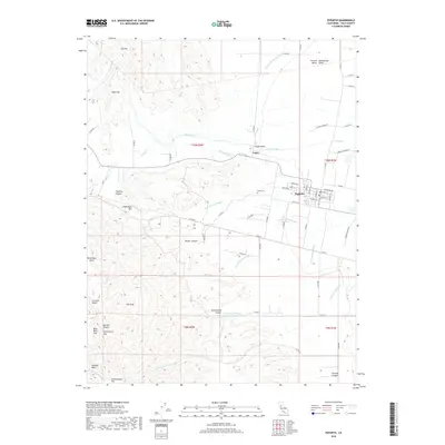
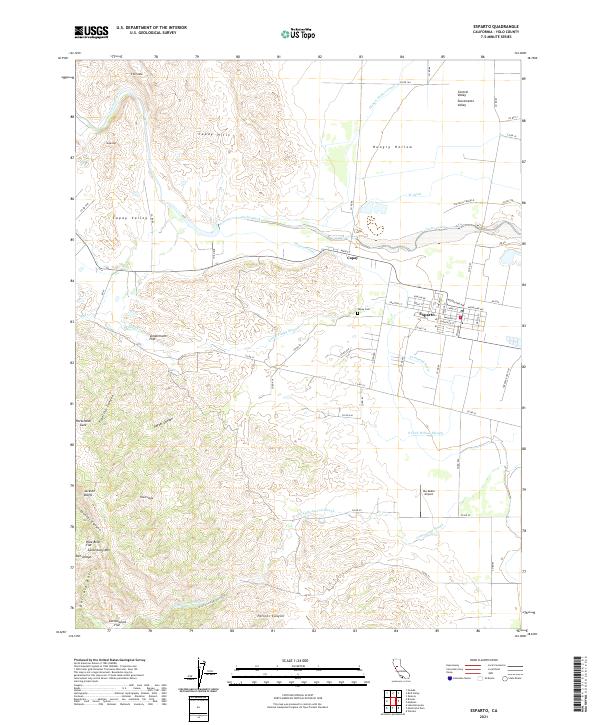
Loading map...1959 Map of Esparto
USGS Topo · Published 1961About this map
Cache Creek defines the transition from the steep elevations of Canterbury Mtn and Sugarloaf into the fertile irrigation-fed fields of the Capay Valley during the late 1950s. The settlement of Esparto serves as a local hub, anchored by its High School and the Southern Pacific railroad line, with residential development concentrated along Grafton Street.
Find a feature on this map
41 named features on this map. Tap any name to fly to it.
Don’t see what you’re looking for? This feature index may not catch every label — zoom into the map to look around manually.
Map Details
Date Portrayed1959
Date Published1961
PublisherU.S. Geological Survey
Map TypeTopographic
Scale1:24,000
Physical Dimensions22 x 26.8 inches
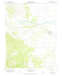
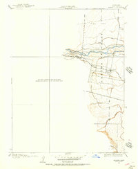
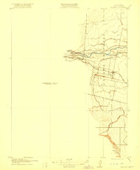
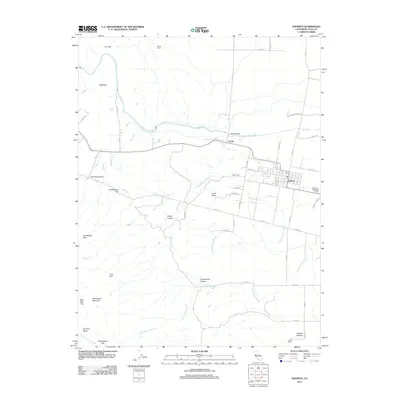
Editions of this 1959 Esparto Map
5 editions found
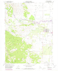
Historical Maps of Esparto Through Time
7 maps found
Featured Locations
Source Details
SourceU.S. Geological Survey
CopyrightPublic Domain