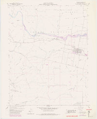
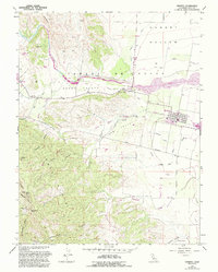
1959 Map of Esparto
USGS Topo · Published 1980About this map
Cache Creek winds through the heart of this landscape, anchoring a complex irrigation network that includes the Hungry Hollow Canal, Adams Canal, and the Capay Dam. The settlement of Esparto serves as the regional hub, situated along the Southern Pacific railroad line with its local High School and nearby Trailer Park. To the west, the village of Capay sits near the foot of the Cañada de Capay, a gateway to the more varied terrain of the Capay Valley.
Find a feature on this map
40 named features on this map. Tap any name to fly to it.
Don’t see what you’re looking for? This feature index may not catch every label — zoom into the map to look around manually.
Map Details
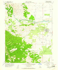
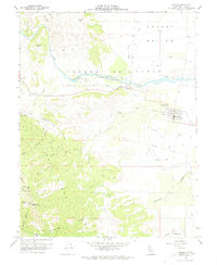
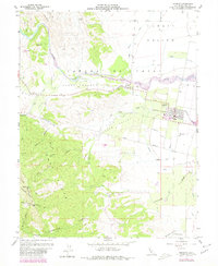
Editions of this 1959 Esparto Map
5 editions found
Other maps of this area

1905 · Esparto
USGS Topo · 1:24,000

1907 · Dunnigan
USGS Topo · 1:62,500

1907 · Woodland
USGS Topo · 1:62,500

1916 · Jacobs Corner
USGS Topo · 1:31,680

1916 · Zamora
USGS Topo · 1:31,680

1916 · Winters
USGS Topo · 1:31,680

1916 · Esparto
USGS Topo · 1:31,680

1924 · Capay
USGS Topo · 1:62,500
1941 · Dunnigan
USGS Topo · 1:62,500
1941 · Woodland
USGS Topo · 1:62,500