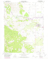
1959 Map of Esparto
USGS Topo · Published 1980About this map
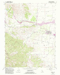
Cache Creek flows through the center of this landscape, defining the transition from the steep elevations of the East Slope to the fertile agricultural basin of the Capay Valley. The township of Esparto serves as the local hub, anchored by the Southern Pacific rail line and the local High School. The map reveals a complex irrigation system essential to the region's ranching and farming history, including the Hungry Hollow Canal, Adams Canal, and the Grant Boundary Drain. To the west, the terrain rises sharply toward landmarks like Sugarloaf and Canterbury Mtn, where deep drainages such as Jackson Canyon and Spencer Canyon cut through the foothills. This 1959 survey, updated with 1978 data, captures the intersection of natural watercourses like Willow Slough and the man-made infrastructure that supported settlements like the Corbin Ranch and Turkey Camp.
Find a feature on this map
39 named features on this map. Tap any name to fly to it.
Don’t see what you’re looking for? This feature index may not catch every label — zoom into the map to look around manually.
Map Details
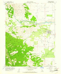
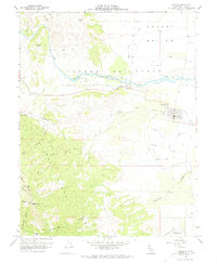
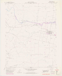
Editions of this 1959 Esparto Map
5 editions found
Other maps of this area

1905 · Esparto
USGS Topo · 1:24,000

1907 · Dunnigan
USGS Topo · 1:62,500

1907 · Woodland
USGS Topo · 1:62,500

1916 · Jacobs Corner
USGS Topo · 1:31,680

1916 · Zamora
USGS Topo · 1:31,680

1916 · Winters
USGS Topo · 1:31,680

1916 · Esparto
USGS Topo · 1:31,680

1924 · Capay
USGS Topo · 1:62,500
1941 · Dunnigan
USGS Topo · 1:62,500
1941 · Woodland
USGS Topo · 1:62,500