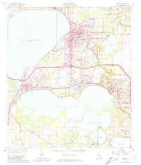
1966 Map of Eustis
USGS Topo · Published 1981About this map
The central Florida lake district is meticulously detailed in this survey of the Golden Triangle area, where Lake Eustis, Lake Dora, and dozens of smaller basins like Lake Joanna and Lake Saunders dominate the landscape. The mid-century development of Eustis, Tavares, and Mount Dora is clearly visible, showing the integration of residential blocks with the natural contours of the shoreline and the Seaboard Coast Line railroad.
Find a feature on this map
70 named features on this map. Tap any name to fly to it.
Don’t see what you’re looking for? This feature index may not catch every label — zoom into the map to look around manually.
Map Details
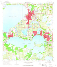
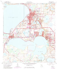
Editions of this 1966 Eustis Map
3 editions found
Other maps of this area

1955 · Orlando
USGS Topo · 1:250,000

1957 · Orlando
USGS Topo · 1:250,000

1958 · Orlando
USGS Topo · 1:250,000

1960 · Sorrento
USGS Topo · 1:24,000

1960 · Apopka
USGS Topo · 1:24,000

1962 · Orlando
USGS Topo · 1:250,000

1962 · Astatula
USGS Topo · 1:24,000

1965 · Leesburg East
USGS Topo · 1:24,000

1965 · Umatilla
USGS Topo · 1:24,000
1965 · Paisley
USGS Topo · 1:24,000