
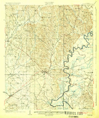
1931 Map of Eutaw
USGS Topo · Published 1931About this map
Eutaw serves as the central hub for the Black Warrior River valley in this late 1920s survey, where the Southern Railway and State Highway No. 40 converge. The landscape is defined by the tight, serpentine meanders of the Black Warrior River, governed by Lock 8 and Lock 7. Along the riverbanks, old crossings like Pinckes Ferry and landings such as Barkers Landing highlight the importance of waterborne transport alongside the developing rail infrastructure.
Find a feature on this map
87 named features on this map. Tap any name to fly to it.
Don’t see what you’re looking for? This feature index may not catch every label — zoom into the map to look around manually.
Map Details
Editions of this 1931 Eutaw Map
4 editions found
Other maps of this area

1924 · Tuscaloosa
USGS Topo · 1:62,500

1926 · Tuscaloosa
USGS Topo · 1:62,500

1927 · Eutaw
USGS Topo · 1:48,000

1929 · Epes
USGS Topo · 1:48,000

1932 · Epes
USGS Topo · 1:62,500

1947 · Mason Bend
USGS Topo · 1:24,000

1947 · Forkland
USGS Topo · 1:24,000

1948 · Mason Bend
USGS Topo · 1:24,000

1949 · Forkland
USGS Topo · 1:24,000

1953 · Montgomery
USGS Topo · 1:250,000