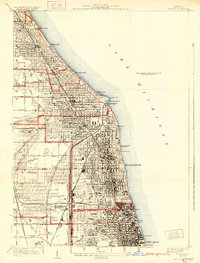
1928 Map of Evanston
USGS Topo · Published 1931About this map
Evanston and the burgeoning North Shore suburbs appear in meticulous detail during the mid-1920s, showing a landscape defined by lakefront institutions and prestigious recreation. This era of rapid suburban expansion is visible in the dense street grids stretching west from Lake Michigan, punctuated by significant centers of learning like Northwestern University and Loyola University. Along the coast, the Gross Pt Lh and the Coast Guard Sta stand as sentinels near Wilmette Harbor.
Find a feature on this map
57 named features on this map. Tap any name to fly to it.
Don’t see what you’re looking for? This feature index may not catch every label — zoom into the map to look around manually.
Map Details
Editions of this 1928 Evanston Map
5 editions found

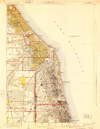
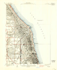
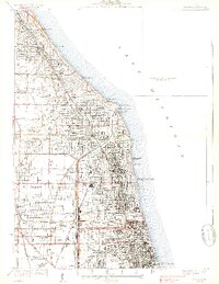
Other maps of this area

1889 · Chicago
USGS Topo · 1:62,500

1891 · Chicago
USGS Topo · 1:62,500

1891 · Riverside
USGS Topo · 1:62,500

1893 · Riverside
USGS Topo · 1:62,500

1899 · Evanston
USGS Topo · 1:62,500

1900 · Chicago
USGS Topo · 1:62,500

1900 · Riverside
USGS Topo · 1:62,500

1900 · Highwood
USGS Topo · 1:62,500

1901 · Riverside
USGS Topo · 1:62,500

1901 · Chicago
USGS Topo · 1:62,500