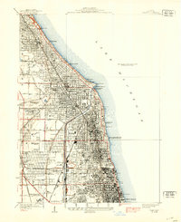
1928 Map of Evanston
USGS Topo · Published 1939About this map
The North Shore suburbs of Chicago are densely mapped in this late-1930s revision, showing the transition from affluent lakeside estates to expanding residential grids. Along the Lake Michigan shoreline, the campuses of Northwestern University and Loyola University anchor the urban landscape, while the Gross Pt Lh and the Coast Guard Sta mark the maritime edge near Wilmette Harbor. The infrastructure of the era is remarkably clear, tracing the Chicago and Northwestern rail lines and the Chicago North Shore and Milwaukee Electric tracks as they bisect communities like Winnetka, Kenilworth, and Wilmette. Inland, the North Shore Channel cuts through the terrain near the North Side Sewage Treatment Works, highlighting the massive civil engineering projects of the early 20th century. Local landmarks such as the Immaculate Convent and Memorial Park Cemetery provide essential reference points for genealogists and local historians studying the growth of Evanston and Niles Center.
Find a feature on this map
58 named features on this map. Tap any name to fly to it.
Don’t see what you’re looking for? This feature index may not catch every label — zoom into the map to look around manually.
Map Details
Editions of this 1928 Evanston Map
5 editions found

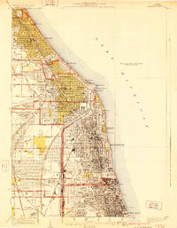
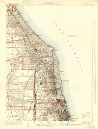
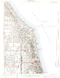
Other maps of this area

1889 · Chicago
USGS Topo · 1:62,500

1891 · Chicago
USGS Topo · 1:62,500

1891 · Riverside
USGS Topo · 1:62,500

1893 · Riverside
USGS Topo · 1:62,500

1899 · Evanston
USGS Topo · 1:62,500

1900 · Chicago
USGS Topo · 1:62,500

1900 · Riverside
USGS Topo · 1:62,500

1900 · Highwood
USGS Topo · 1:62,500

1901 · Riverside
USGS Topo · 1:62,500

1901 · Chicago
USGS Topo · 1:62,500