
1928 Map of Evanston
USGS Topo · Published 1928About this map
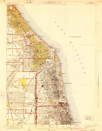
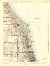
The suburban development of the North Shore and the steady northward expansion of Chicago define this detailed survey from the late 1920s. Along the coast of Lake Michigan, the dense residential grids of Evanston and Wilmette are already well-established, anchored by major institutions such as Northwestern University and Loyola University. The landscape is a mix of high-density lakefront living and the sprawling recreational grounds of several private clubs, including the Westmoreland Golf Club and the Indian Hill Club.
Find a feature on this map
56 named features on this map. Tap any name to fly to it.
Don’t see what you’re looking for? This feature index may not catch every label — zoom into the map to look around manually.
Map Details
Editions of this 1928 Evanston Map
5 editions found
Other maps of this area

1889 · Chicago
USGS Topo · 1:62,500

1891 · Chicago
USGS Topo · 1:62,500

1891 · Riverside
USGS Topo · 1:62,500

1893 · Riverside
USGS Topo · 1:62,500

1899 · Evanston
USGS Topo · 1:62,500

1900 · Chicago
USGS Topo · 1:62,500

1900 · Riverside
USGS Topo · 1:62,500

1900 · Highwood
USGS Topo · 1:62,500

1901 · Riverside
USGS Topo · 1:62,500

1901 · Chicago
USGS Topo · 1:62,500