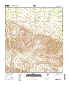
2016 Map of Fairbanks A-1 SW
USGS Topo · Published 2016About this map
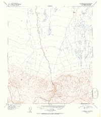
Snow Mountain Gulch carves through the northwestern corner of this high-elevation terrain in the Alaska-Denali Borough. The landscape is defined by its drainage network, where the waters of Threemile Cr and Slide Cr descend from steep ridges. The presence of both Dry Cr and Dry Creek indicates a hydrological system characterized by seasonal flows and gravel beds, typical of the interior mountain ranges. Surveyed into the Public Land Survey System as portions of t9s r1e, t9s r2e, t10s r1e, and t10s r2e, the area remains largely undeveloped, preserving a wilderness topography where watercourses provide the primary named orientation points.
Find a feature on this map
9 named features on this map. Tap any name to fly to it.
Don’t see what you’re looking for? This feature index may not catch every label — zoom into the map to look around manually.
Map Details
Editions of this 2016 Fairbanks A-1 SW Map
This is the sole edition of this map. No revisions or reprints were ever made.
Other maps of this area

1949 · Fairbanks A-2
USGS Topo · 1:63,360

1949 · Fairbanks A-1
USGS Topo · 1:63,360

1949 · Healy D-1
USGS Topo · 1:63,360

1950 · Fairbanks
USGS Topo · 1:250,000

1951 · Healy
USGS Topo · 1:250,000

1951 · Fairbanks
USGS Topo · 1:250,000
1951 · Healy D-2
USGS Topo · 1:63,360
1952 · Healy D-1
USGS Topo · 1:63,360
1952 · Healy D-2
USGS Topo · 1:63,360
1952 · Fairbanks A-1
USGS Topo · 1:63,360