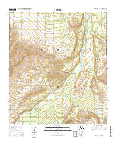
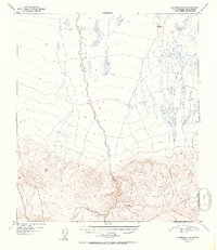
2016 Map of Fairbanks A-2 SE
USGS Topo · Published 2016About this map
Wood River meanders through the heart of this interior Alaskan landscape, serving as the primary drainage for the surrounding highlands in the Denali Borough. The terrain is characterized by significant elevation changes, with the north-south flowing river corridor flanked by dissecting tributaries like Glacier Cr and Threemile Cr. To the northeast, the dramatic landform of Snow Mountain Gulch marks the high-altitude relief typical of the Alaska Range foothills. Surveyed in the early 21st century, the map provides a precise layout of the Public Land Survey System, including the intersection of t9s r1w, t9s r1e, t10s r1w, and t10s r1e. This document is an essential record of hydrological patterns and topographic contours in a region where the natural environment remains the dominant force.
Find a feature on this map
8 named features on this map. Tap any name to fly to it.
Don’t see what you’re looking for? This feature index may not catch every label — zoom into the map to look around manually.
Map Details
Editions of this 2016 Fairbanks A-2 SE Map
This is the sole edition of this map. No revisions or reprints were ever made.
Other maps of this area

1949 · Fairbanks A-2
USGS Topo · 1:63,360

1949 · Fairbanks A-1
USGS Topo · 1:63,360

1949 · Healy D-1
USGS Topo · 1:63,360

1950 · Fairbanks
USGS Topo · 1:250,000

1951 · Healy
USGS Topo · 1:250,000

1951 · Fairbanks
USGS Topo · 1:250,000
1951 · Healy D-2
USGS Topo · 1:63,360
1952 · Healy D-1
USGS Topo · 1:63,360
1952 · Healy D-2
USGS Topo · 1:63,360
1952 · Fairbanks A-1
USGS Topo · 1:63,360