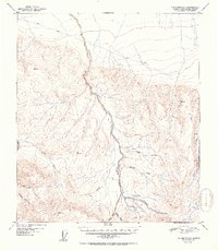
1952 Map of Fairbanks A-3
USGS Topo · Published 1952About this map
Tatlanika Creek flows through the center of this 1952 topographic study, which captures the remote mining and transport infrastructure of interior Alaska at mid-century. The landscape is marked by the presence of a Placer Mine near King Creek and the remote Grubstake Airstrip, indicating a reliance on bush aviation and seasonal mining operations. A traditional Sled Road cuts across the northern terrain, representing a vital winter transportation route before the establishment of modern highways.
Find a feature on this map
19 named features on this map. Tap any name to fly to it.
Don’t see what you’re looking for? This feature index may not catch every label — zoom into the map to look around manually.
Map Details
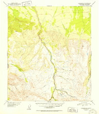
Editions of this 1952 Fairbanks A-3 Map
2 editions found
Other maps of this area

1949 · Fairbanks B-4
USGS Topo · 1:63,360

1949 · Fairbanks B-3
USGS Topo · 1:63,360

1949 · Fairbanks A-2
USGS Topo · 1:63,360

1950 · Fairbanks
USGS Topo · 1:250,000

1950 · Healy D-4
USGS Topo · 1:63,360

1950 · Fairbanks A-4
USGS Topo · 1:63,360

1950 · Fairbanks A-3
USGS Topo · 1:63,360

1950 · Fairbanks B-2
USGS Topo · 1:63,360

1950 · Healy D-3
USGS Topo · 1:63,360

1951 · Healy
USGS Topo · 1:250,000