
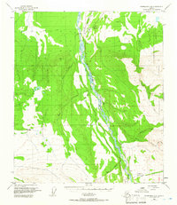
1950 Map of Fairbanks A-5
USGS Topo · Published 1962About this map
The Alaska Railroad serves as the central spine of this landscape, paralleling the braided channels of the Nenana River through the Interior. In the early 1950s, this corridor was a vital lifeline for small settlements and trackside stops like Rex and Browne, which were connected by rail and a network of unimproved routes. The presence of a Winter Trail and several cabins reflects the seasonal mobility required in this environment, where travel often depended on frozen ground.
Find a feature on this map
23 named features on this map. Tap any name to fly to it.
Don’t see what you’re looking for? This feature index may not catch every label — zoom into the map to look around manually.
Map Details
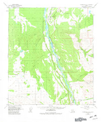
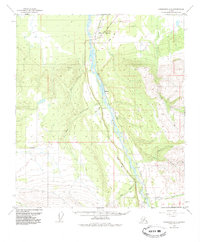
Editions of this 1950 Fairbanks A-5 Map
4 editions found
Other maps of this area

1949 · Fairbanks B-5
USGS Topo · 1:63,360

1949 · Fairbanks B-4
USGS Topo · 1:63,360

1950 · Fairbanks
USGS Topo · 1:250,000

1950 · Healy D-4
USGS Topo · 1:63,360

1950 · Fairbanks A-4
USGS Topo · 1:63,360

1950 · Fairbanks B-5
USGS Topo · 1:63,360

1951 · Healy
USGS Topo · 1:250,000

1951 · Fairbanks B-5
USGS Topo · 1:63,360

1951 · Fairbanks
USGS Topo · 1:250,000

1951 · Fairbanks A-5
USGS Topo · 1:63,360