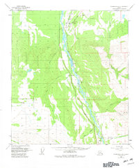
1950 Map of Fairbanks A-5
USGS Topo · Published 1982About this map
The Nenana River carves a braided path through this 1950 interior landscape, serving as the primary corridor for both the Alaska Railroad and the Parks Highway. Small settlements and transit points like Rex, Browne, and Ferry dot the rail line, reflecting the vital role of transportation in this era. The map captures a moment when local infrastructure was centered around small airstrips like the Liaho Landing Strip and localized schooling at Brown Court Sch.
Find a feature on this map
29 named features on this map. Tap any name to fly to it.
Don’t see what you’re looking for? This feature index may not catch every label — zoom into the map to look around manually.
Map Details
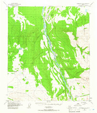
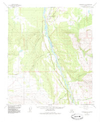
Editions of this 1950 Fairbanks A-5 Map
4 editions found
Other maps of this area

1949 · Fairbanks B-5
USGS Topo · 1:63,360

1949 · Fairbanks B-4
USGS Topo · 1:63,360

1950 · Fairbanks
USGS Topo · 1:250,000

1950 · Fairbanks A-5
USGS Topo · 1:63,360

1950 · Healy D-4
USGS Topo · 1:63,360

1950 · Fairbanks A-4
USGS Topo · 1:63,360

1950 · Fairbanks B-5
USGS Topo · 1:63,360

1951 · Healy
USGS Topo · 1:250,000

1951 · Fairbanks B-5
USGS Topo · 1:63,360

1951 · Fairbanks
USGS Topo · 1:250,000