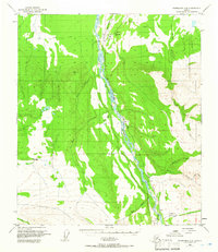
1950 Map of Fairbanks A-5
USGS Topo · Published 1965About this map
The Nenana River dominates this mid-century landscape, carving a wide path through the Interior as it follows the corridor of the Alaska Railroad. The rail line serves as the primary artery for small, isolated settlements such as Browne and Ferry, where rail-mile markers like Mile 385 and Mile 370 denote position in the wilderness. The presence of the Browne Court Sch and a Trailer Park near the river suggests a focused hub of local activity during this era, likely tied to railroad maintenance or the local resource economy.
Find a feature on this map
31 named features on this map. Tap any name to fly to it.
Don’t see what you’re looking for? This feature index may not catch every label — zoom into the map to look around manually.
Map Details
Editions of this 1950 Fairbanks A-5 Map
4 editions found
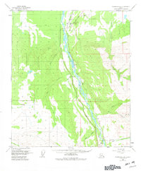
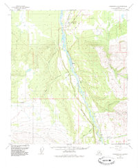
Other maps of this area

1949 · Fairbanks B-5
USGS Topo · 1:63,360

1949 · Fairbanks B-4
USGS Topo · 1:63,360

1950 · Fairbanks
USGS Topo · 1:250,000

1950 · Fairbanks A-5
USGS Topo · 1:63,360

1950 · Healy D-4
USGS Topo · 1:63,360

1950 · Fairbanks A-4
USGS Topo · 1:63,360

1950 · Fairbanks B-5
USGS Topo · 1:63,360

1951 · Healy
USGS Topo · 1:250,000

1951 · Fairbanks B-5
USGS Topo · 1:63,360

1951 · Fairbanks
USGS Topo · 1:250,000