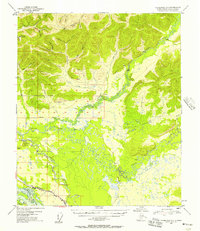
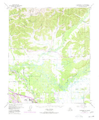
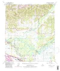
1949 Map of Fairbanks D-1
USGS Topo · Published 1957About this map
The Chena River and its intricate network of sloughs dominate this 1949 survey of the Fairbanks backcountry, revealing a landscape defined by seasonal travel and mineral exploration. The southern reach of the sheet is anchored by the Alaska Railroad and the Richardson Highway, which cut across the lowlands near the Tanana River. This transport corridor serves as the gateway to a rugged interior where numerous creeks like Yellow Pup Creek and Last Chance Creek hint at the region's mining heritage.
Find a feature on this map
40 named features on this map. Tap any name to fly to it.
Don’t see what you’re looking for? This feature index may not catch every label — zoom into the map to look around manually.
Map Details
Editions of this 1949 Fairbanks D-1 Map
7 editions found
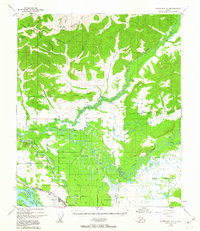
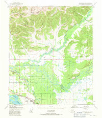
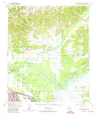
Other maps of this area

1945 · Livengood
USGS Topo · 1:250,000

1949 · Fairbanks D-1
USGS Topo · 1:62,500

1949 · Fairbanks D-2
USGS Topo · 1:62,500

1949 · Fairbanks C-1
USGS Topo · 1:63,360

1949 · Big Delta C-6
USGS Topo · 1:63,360

1949 · Fairbanks C-2
USGS Topo · 1:63,360

1950 · Fairbanks
USGS Topo · 1:250,000

1950 · Big Delta
USGS Topo · 1:250,000

1950 · Big Delta D-6
USGS Topo · 1:63,360

1950 · Fairbanks C-1
USGS Topo · 1:63,360