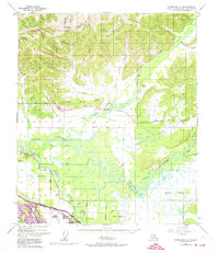
1949 Map of Fairbanks D-1
USGS Topo · Published 1974About this map
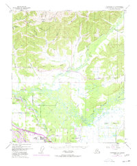
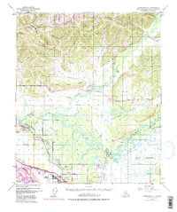
Gilmore Dome overlooks a landscape defined by the winding hydrology of the Chena River and Tanana River in this mid-century Fairbanks-area survey. The settlement of North Pole appears near the Chena Slough, marking a key point of residential development along the Alaska Richardson Highway and the Alaska Railroad. The map reveals the intricate network of mining-era drainage and transport, from the high northern gulches like Gay Gulch and Yellow Pup Creek to the established grid of the south. Educational and aviation sites are documented, including the Two Rivers Sch to the east and the Bradley Sky Ranch near Highland Park. This 1949 topographic record, updated with 1972 aerial revisions, illustrates the shift from isolated interior Alaskana to a more structured corridor of roads and military land use during the post-war era.
Find a feature on this map
42 named features on this map. Tap any name to fly to it.
Don’t see what you’re looking for? This feature index may not catch every label — zoom into the map to look around manually.
Map Details
Editions of this 1949 Fairbanks D-1 Map
7 editions found
Other maps of this area

1945 · Livengood
USGS Topo · 1:250,000

1949 · Fairbanks D-1
USGS Topo · 1:62,500

1949 · Fairbanks D-2
USGS Topo · 1:62,500

1949 · Fairbanks C-1
USGS Topo · 1:63,360

1949 · Big Delta C-6
USGS Topo · 1:63,360

1949 · Fairbanks C-2
USGS Topo · 1:63,360

1950 · Fairbanks
USGS Topo · 1:250,000

1950 · Big Delta
USGS Topo · 1:250,000

1950 · Big Delta D-6
USGS Topo · 1:63,360

1950 · Fairbanks C-1
USGS Topo · 1:63,360