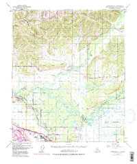
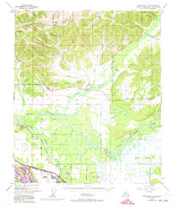
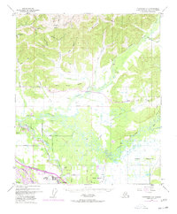
1949 Map of Fairbanks D-1
USGS Topo · Published 1977About this map
Gilmore Dome rises above a landscape defined by the winding paths of the Tanana River and the Chena River during this mid-century period. The map captures the emerging infrastructure of the Fairbanks interior, from the traditional route of the Alaska Railroad to the introduction of the Trans-Alaska Pipeline. Small settlements like North Pole and Highland Park are visible alongside specialized aviation landmarks such as Bradley Sky Ranch and various landing strips.
Find a feature on this map
55 named features on this map. Tap any name to fly to it.
Don’t see what you’re looking for? This feature index may not catch every label — zoom into the map to look around manually.
Map Details
Editions of this 1949 Fairbanks D-1 Map
7 editions found
Other maps of this area

1945 · Livengood
USGS Topo · 1:250,000

1949 · Fairbanks D-1
USGS Topo · 1:62,500

1949 · Fairbanks D-2
USGS Topo · 1:62,500

1949 · Fairbanks C-1
USGS Topo · 1:63,360

1949 · Big Delta C-6
USGS Topo · 1:63,360

1949 · Fairbanks C-2
USGS Topo · 1:63,360

1950 · Fairbanks
USGS Topo · 1:250,000

1950 · Big Delta
USGS Topo · 1:250,000

1950 · Big Delta D-6
USGS Topo · 1:63,360

1950 · Fairbanks C-1
USGS Topo · 1:63,360