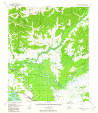
1949 Map of Fairbanks D-1
USGS Topo · Published 1963About this map
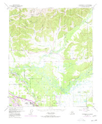
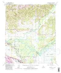
Chena River meanders across this subarctic landscape, meeting the Tanana River just south of the established Alaska Railroad line. The terrain transitions from the marshy lowlands near North Pole and Highland Park to the prominent heights of Gilmore Dome and Lakloey Hill in the north. This mid-century view shows a developing transportation network of rural roads like Badger Road and Persinger Drive serving the growing settlements east of the city. The expansive Military Reservation occupies significant territory, highlighting the region's strategic importance during the early Cold War era. Upstream, the Little Chena River winds through unsurveyed townships, passing small outposts like Two Rivers and its local Two Rivers Sch, while gold-mining history is reflected in the drainage names near Gilmore, such as Yellow Pup Creek and Monte Cristo Creek.
Find a feature on this map
57 named features on this map. Tap any name to fly to it.
Don’t see what you’re looking for? This feature index may not catch every label — zoom into the map to look around manually.
Map Details
Editions of this 1949 Fairbanks D-1 Map
7 editions found
Other maps of this area

1945 · Livengood
USGS Topo · 1:250,000

1949 · Fairbanks D-1
USGS Topo · 1:62,500

1949 · Fairbanks D-2
USGS Topo · 1:62,500

1949 · Fairbanks C-1
USGS Topo · 1:63,360

1949 · Big Delta C-6
USGS Topo · 1:63,360

1949 · Fairbanks C-2
USGS Topo · 1:63,360

1950 · Fairbanks
USGS Topo · 1:250,000

1950 · Big Delta
USGS Topo · 1:250,000

1950 · Big Delta D-6
USGS Topo · 1:63,360

1950 · Fairbanks C-1
USGS Topo · 1:63,360