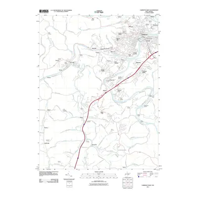
2011 Map of Fairmont West
USGS Topo · Published 2011About this map
The confluence of the West Fork River and the Tygart Valley River forms the Monongahela River at Fairmont, where the Million Dollar Bridge serves as a prominent crossing between the main city and Palatine. This 2011 survey reveals an intricate landscape of industrial heritage and steep terrain, with the historic mining town of Monongah situated along the West Fork River to the southwest. Educational and transportation infrastructure is well-defined, including the Fairmont State University campus and the Fairmont Municipal Airport. Numerous family and community cemeteries, such as Janes Memorial Cemetery, Nuzum Cemetery, and Evergreen Cemetery, are documented across the ridges, providing valuable geographic points for genealogical research. Residential neighborhoods like Beverly Hills and Hillcrest extend from the urban core, while the eastern edge features the Colfax settlement and its nearby Colfax Post Office.
Find a feature on this map
160 named features on this map. Tap any name to fly to it.
Don’t see what you’re looking for? This feature index may not catch every label — zoom into the map to look around manually.
Map Details
Editions of this 2011 Fairmont West Map
This is the sole edition of this map. No revisions or reprints were ever made.
Other maps of this area

1902 · Clarksburg
USGS Topo · 1:62,500

1902 · Fairmont
USGS Topo · 1:62,500

1904 · Blacksville
USGS Topo · 1:62,500

1905 · Mannington
USGS Topo · 1:62,500

1910 · Clarksburg
USGS Topo · 1:62,500

1923 · Blacksville
USGS Topo · 1:62,500

1923 · Fairmont
USGS Topo · 1:62,500

1923 · Mannington
USGS Topo · 1:62,500

1923 · Clarksburg
USGS Topo · 1:62,500

1925 · Blacksville
USGS Topo · 1:62,500