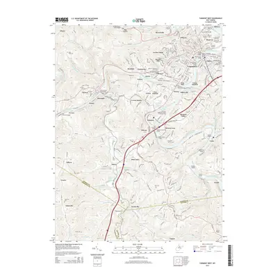
2014 Map of Fairmont West
USGS Topo · Published 2014About this map
Fairmont serves as the central hub of this Marion County region, situated at the confluence where the West Fork River and Tygart Valley River merge to form the Monongahela River. This confluence is marked by a dense network of transportation and river crossings, including the storied Million Dollar Bridge, the David Morgan Memorial Bridge, and the Johnnie Johns Bridge. The map details the residential expansion of the early 21st century, with neighborhoods like Garden Village, Beverly Hills, and Hillerest surrounding the Fairmont State Univ campus.
Find a feature on this map
107 named features on this map. Tap any name to fly to it.
Don’t see what you’re looking for? This feature index may not catch every label — zoom into the map to look around manually.
Map Details
Editions of this 2014 Fairmont West Map
This is the sole edition of this map. No revisions or reprints were ever made.
Other maps of this area

1902 · Clarksburg
USGS Topo · 1:62,500

1902 · Fairmont
USGS Topo · 1:62,500

1904 · Blacksville
USGS Topo · 1:62,500

1905 · Mannington
USGS Topo · 1:62,500

1910 · Clarksburg
USGS Topo · 1:62,500

1923 · Blacksville
USGS Topo · 1:62,500

1923 · Fairmont
USGS Topo · 1:62,500

1923 · Mannington
USGS Topo · 1:62,500

1923 · Clarksburg
USGS Topo · 1:62,500

1925 · Blacksville
USGS Topo · 1:62,500