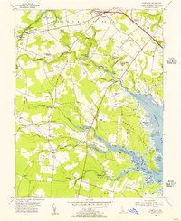
1954 Map of Fairmount
USGS Topo · Published 1956About this map
The coastal plains and tidal inlets of Sussex County come into sharp focus in this mid-century survey, revealing a landscape defined by the branching waters of Love Creek and Herring Creek. Small rural communities and crossroads like Fairmount, Angola, and Robinsonville dot the interior, while the shoreline of Rehoboth Bay is punctuated by numerous landings such as Webb Landing and Greens Landing. The map captures a moment of transition where traditional agrarian life—represented by the Cool Spring Grange and the Gosling Mill Pond—exists alongside newer developments like the Rehoboth Airfield and a Drive-in Theater near Midway. Genealogy and local history are preserved through the locations of several landmark churches, including the Indian Mission Ch and St Georges Ch, as well as schools like the Rabbits Ferry Sch. The intricate network of tidal glades and prongs, from Heady Fisher Glade to Hopkins Prong, illustrates the complex geography of Long Neck and its surrounding marshlands.
Find a feature on this map
88 named features on this map. Tap any name to fly to it.
Don’t see what you’re looking for? This feature index may not catch every label — zoom into the map to look around manually.
Map Details
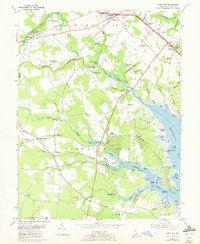
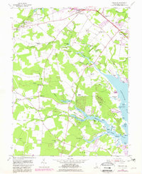
Editions of this 1954 Fairmount Map
3 editions found
Other maps of this area

1917 · Millsboro
USGS Topo · 1:62,500

1918 · Cedar Creek
USGS Topo · 1:62,500

1918 · Rehoboth
USGS Topo · 1:62,500

1918 · Cape Henlopen
USGS Topo · 1:62,500

1919 · Cedar Creek
USGS Topo · 1:62,500

1937 · Cape Henlopen
USGS Topo · 1:62,500

1938 · Cedar Creek
USGS Topo · 1:62,500

1938 · Millsboro
USGS Topo · 1:62,500

1938 · Rehoboth
USGS Topo · 1:62,500

1943 · Fairmount
USGS Topo · 1:24,000
Featured Places
- Angola Crest Mobile Home Park, DE
- Angola Landing, DE
- Cool Spring, DE
- William Ritter Manor, DE
- Mallard Point, DE