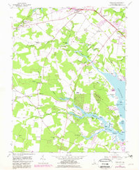
1954 Map of Fairmount
USGS Topo · Published 1982About this map
Rehoboth Bay and the tidal reaches of Love Creek define this section of the Delaware coast, where a network of inland landings once supported the local economy. The landscape is dotted with rural community anchors like the Indian Mission Ch and Cool Spring Grange, alongside several local schools including Drawbridge Sch and Rabbits Ferry Sch. Settlement patterns are concentrated around small crossroads like Fairmount and Robinsonville, with numerous named landings such as Webb Landing and Fisher Landing marking the transition from land to water. The map traces the Conrail line through the northern reaches near Pinetown, while the southern portion is characterized by the expansive Long Neck peninsula between Herring Creek and Guinea Creek. These features illustrate the deep-seated maritime and agricultural character of Sussex County before significant modern development altered the shoreline.
Find a feature on this map
88 named features on this map. Tap any name to fly to it.
Don’t see what you’re looking for? This feature index may not catch every label — zoom into the map to look around manually.
Map Details
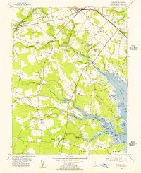
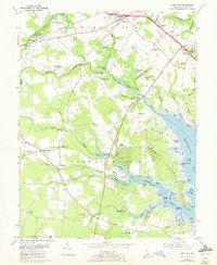
Editions of this 1954 Fairmount Map
3 editions found
Other maps of this area

1917 · Millsboro
USGS Topo · 1:62,500

1918 · Cedar Creek
USGS Topo · 1:62,500

1918 · Rehoboth
USGS Topo · 1:62,500

1918 · Cape Henlopen
USGS Topo · 1:62,500

1919 · Cedar Creek
USGS Topo · 1:62,500

1937 · Cape Henlopen
USGS Topo · 1:62,500

1938 · Cedar Creek
USGS Topo · 1:62,500

1938 · Millsboro
USGS Topo · 1:62,500

1938 · Rehoboth
USGS Topo · 1:62,500

1943 · Fairmount
USGS Topo · 1:24,000
Featured Places
- Angola Crest Mobile Home Park, DE
- Angola Landing, DE
- Cool Spring, DE
- William Ritter Manor, DE
- Mallard Point, DE