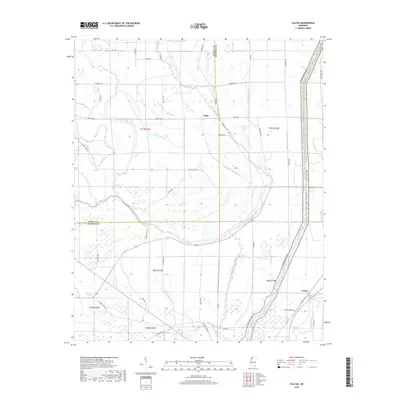
2018 Map of Falcon
USGS Topo · Published 2018About this map
The Coldwater River defines the hydrologic character of this Mississippi Delta landscape, winding through the boundary of Tunica and Quitman Counties. This low-lying alluvial plain is marked by a complex network of wetlands and seasonal waterways, including Graveyard Bayou, Sunrise Bayou, and Thomasson Bayou. The settlement of Falcon sits near the southeastern corner of the quadrangle, connected by Railroad Ave to the surrounding agricultural grid.
Find a feature on this map
57 named features on this map. Tap any name to fly to it.
Don’t see what you’re looking for? This feature index may not catch every label — zoom into the map to look around manually.
Map Details
Editions of this 2018 Falcon Map
This is the sole edition of this map. No revisions or reprints were ever made.
Other maps of this area

1908 · Lula
USGS Topo · 1:24,000

1908 · Dundee
USGS Topo · 1:24,000

1908 · Jonestown
USGS Topo · 1:24,000

1908 · Walnut Lake
USGS Topo · 1:24,000

1910 · Dundee
USGS Topo · 1:31,680

1910 · Walnut Lake
USGS Topo · 1:31,680

1910 · Jonestown
USGS Topo · 1:31,680

1912 · Lula
USGS Topo · 1:31,680

1932 · Sledge
USGS Topo · 1:48,000

1932 · Marks
USGS Topo · 1:48,000