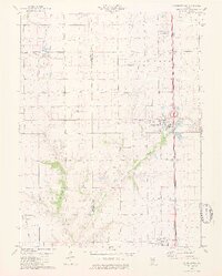
1979 Map of Farmersville
USGS Topo · Published 1980About this map
Farmersville sits at the heart of this central Illinois landscape, serving as a hub for the agricultural and industrial activity of the late 1970s. The region is defined by a sophisticated transport and energy extraction network, notably the Illinois Central Gulf and Burlington Northern railroads that cut through the fertile prairie. Large-scale mining operations are a dominant feature of the local economy, anchored by the massive Crown Mine No 2 and Crown Mine No 1, which reflect the area's importance to the state's coal industry.
Find a feature on this map
25 named features on this map. Tap any name to fly to it.
Don’t see what you’re looking for? This feature index may not catch every label — zoom into the map to look around manually.
Map Details
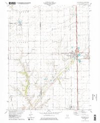
Editions of this 1979 Farmersville Map
2 editions found
Other maps of this area

1922 · Divernon
USGS Topo · 1:62,500

1923 · Carlinville
USGS Topo · 1:48,000

1923 · Raymond
USGS Topo · 1:62,500

1924 · Divernon
USGS Topo · 1:62,500

1924 · Waverly
USGS Topo · 1:62,500

1925 · Carlinville
USGS Topo · 1:62,500

1925 · Raymond
USGS Topo · 1:62,500

1926 · Waverly
USGS Topo · 1:62,500

1931 · Carlinville
USGS Topo · 1:62,500

1958 · Decatur
USGS Topo · 1:250,000