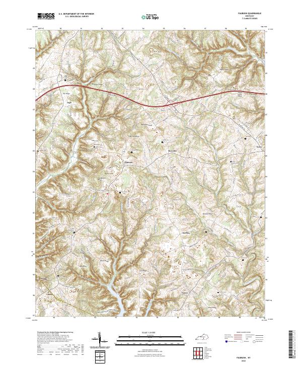
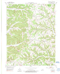
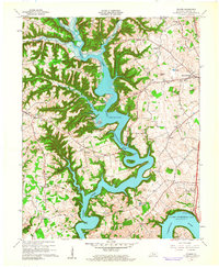
2022 Map of Faubush
USGS Topo · Published 2022About this map
Faubush and the surrounding highlands of western Pulaski County are defined by a complex network of ridges and hollows that drop toward the waters of Faubush Creek. The landscape is dotted with small settlements like Norfleet, Naomi, and Burnetta, which serve as anchors for a rural community deeply connected to the land. This 2022 survey illustrates the enduring nature of local family histories through its numerous burial grounds, including the Floyd Family Cemetery and Cedar Point Cemetery.
Find a feature on this map
135 named features on this map. Tap any name to fly to it.
Don’t see what you’re looking for? This feature index may not catch every label — zoom into the map to look around manually.
Map Details
Editions of this 2022 Faubush Map
This is the sole edition of this map. No revisions or reprints were ever made.
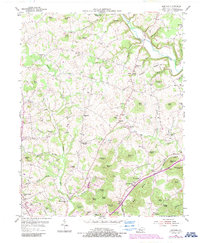
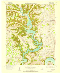
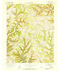
Historical Maps of Vinnie Through Time
18 maps found
1952 Dykes
Pulaski County, KY
1952 Shopville
Pulaski County, KY
1952 Woodstock
Pulaski County, KY
1953 Mintonville
Pulaski County, KY
1954 Bobtown
Pulaski County, KY
1954 Delmer
Pulaski County, KY
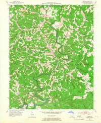
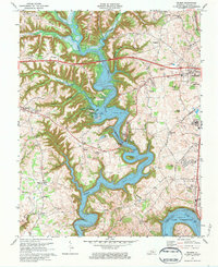
1954 Faubush
Pulaski County, KY
1961 Delmer
Pulaski County, KY
1973 Delmer
Pulaski County, KY
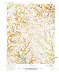
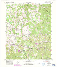
1973 Faubush
Pulaski County, KY
1979 Dykes
Pulaski County, KY
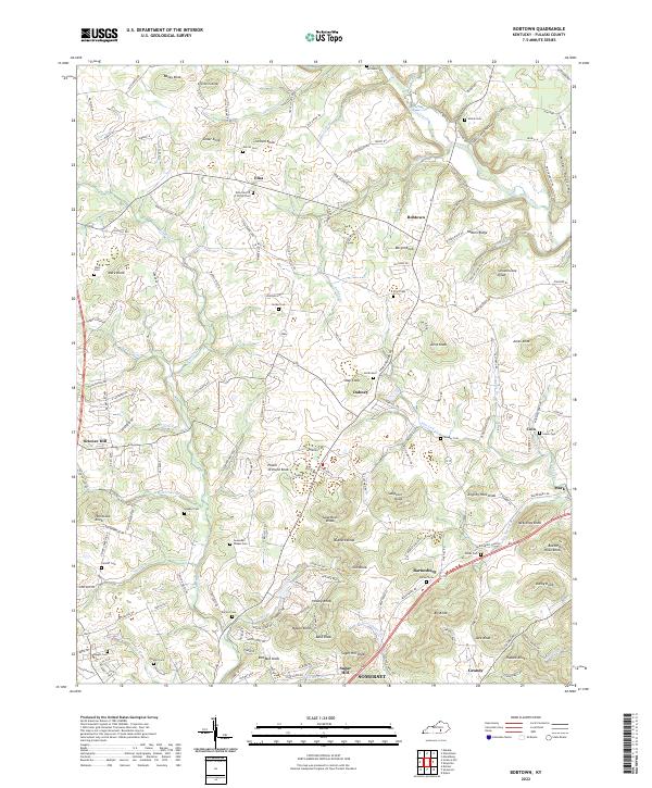
2022 Bobtown
Pulaski County, KY
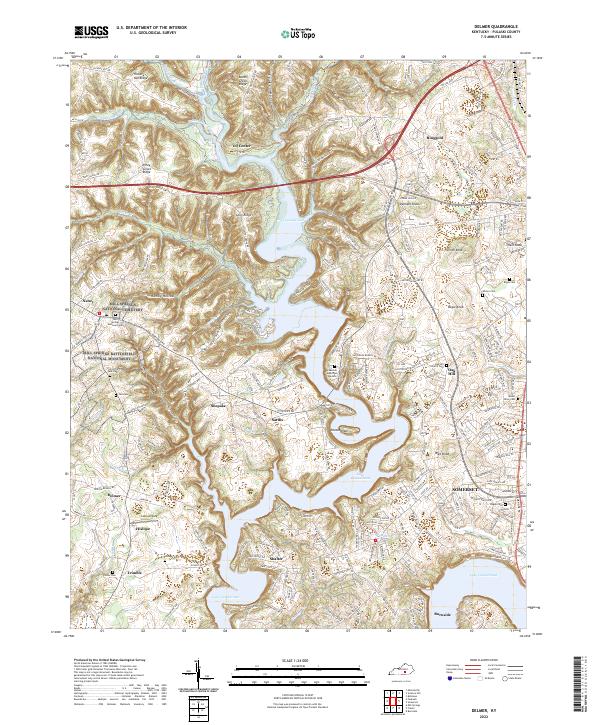
2022 Delmer
Pulaski County, KY
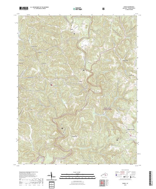
2022 Dykes
Pulaski County, KY
2022 Faubush
Pulaski County, KY
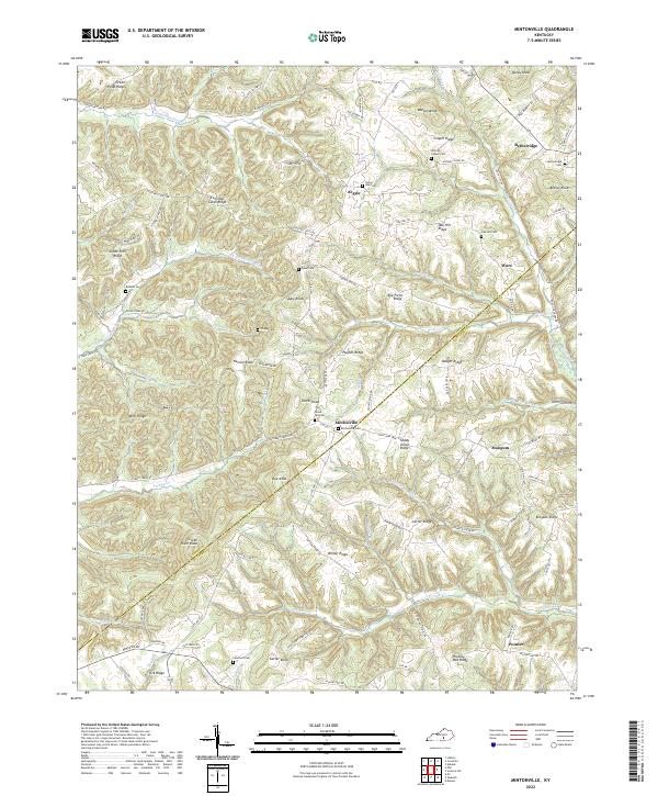
2022 Mintonville
Pulaski County, KY
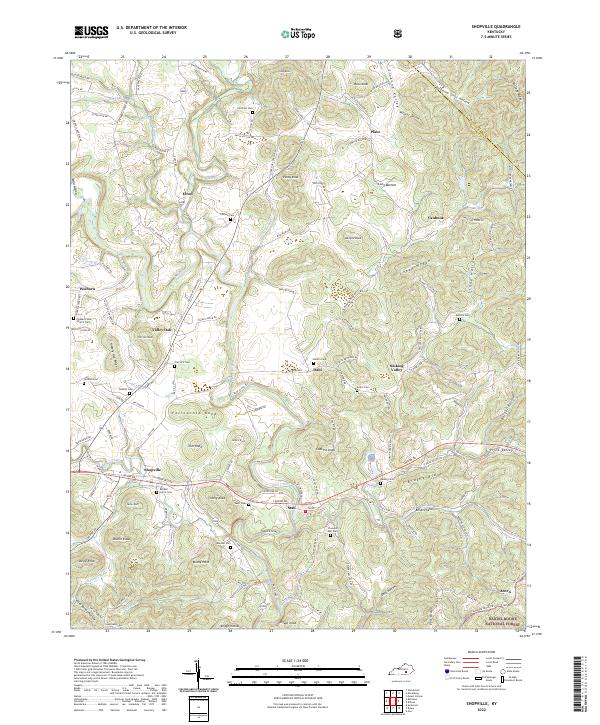
2022 Shopville
Pulaski County, KY
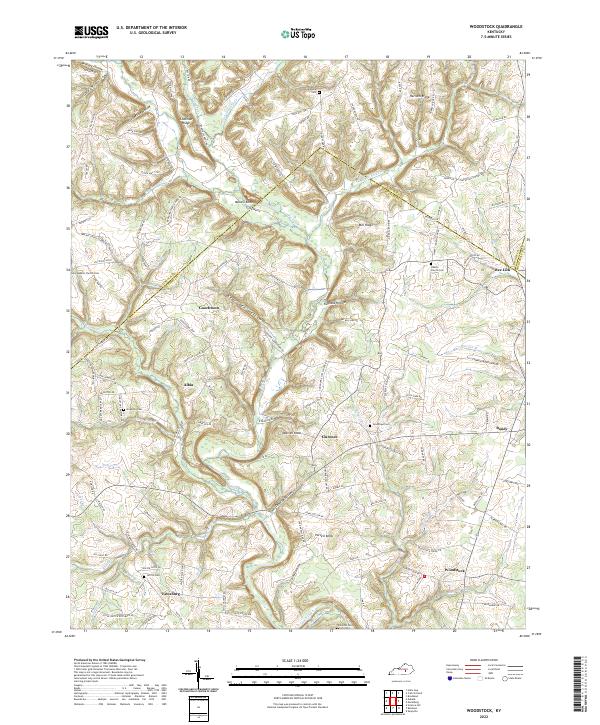
2022 Woodstock
Pulaski County, KY