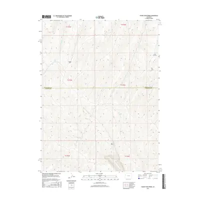
2016 Map of Figure Four Spring
USGS Topo · Published 2016About this map
Figure Four Spring serves as a focal point in this high-elevation landscape along the boundary of Rio Blanco and Garfield Counties. The terrain is defined by a dense network of drainages and named gulches that reveal the complex hydrology of the region. Distinctive landmarks such as Red Point stand out among the topographical contours, while Yankee Gulch and Little Dry Gulch illustrate the seasonal nature of water flow in the area.
Find a feature on this map
23 named features on this map. Tap any name to fly to it.
Don’t see what you’re looking for? This feature index may not catch every label — zoom into the map to look around manually.
Map Details
Editions of this 2016 Figure Four Spring Map
This is the sole edition of this map. No revisions or reprints were ever made.
Other maps of this area

1929 · Highmore
USGS Topo · 1:62,500

1952 · Yankee Gulch
USGS Topo · 1:24,000

1952 · Rock School
USGS Topo · 1:24,000

1956 · Grand Junction
USGS Topo · 1:250,000

1959 · Grand Junction
USGS Topo · 1:250,000

1960 · Grand Junction
USGS Topo · 1:250,000

1962 · Grand Junction
USGS Topo · 1:250,000

1964 · Grand Junction
USGS Topo · 1:250,000

1964 · Henderson Ridge
USGS Topo · 1:24,000

1964 · Black Cabin Gulch
USGS Topo · 1:24,000